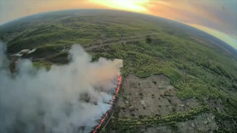
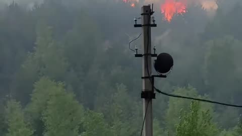
2 days ago🔥 NASA satellite imagery shows a large-scale fire burning at the site of the 304th Ammunition DepotWar in UkraineVerified
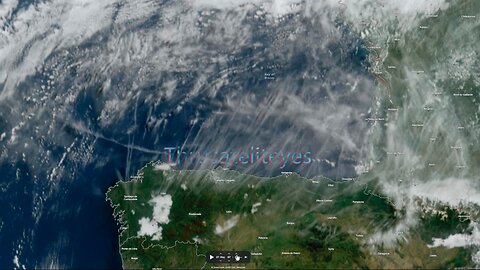
1 year agoQuebec, Canada Fires | Why Does June 2nd 2023 Satellite Imagery from College of DuPage Meteorology Department Show Dozens of Fires in Quebec Starting Up at Almost the Exact Same Time?Thrivetime Show: The ReAwakening versus The Great ResetVerified
2 days ago🔥 NASA satellite imagery shows a large-scale fire burning at the site of the 304th Ammunition DepotWar in UkraineVerified
4 years agoNephilim Giant caught on satellite imagery of the Patagonian MountainsUfomania - the truth is out there
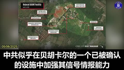
22 days agoDr. Ryan Berg Presents New Satellite Imagery of Potential CCP Surveillance Facilities in CubaGloryMifan
6 months agoAmerican Voters: Did you know Democrats have been using satellite imagery to raid American Farms?Question EverythingVerified
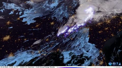
1 year agoBREAKING! PROOF CHINA SATELLITES OVER MAUI AT FIRE STARTS! | The Prather Brief Ep. 92PATRIOT.TVVerified
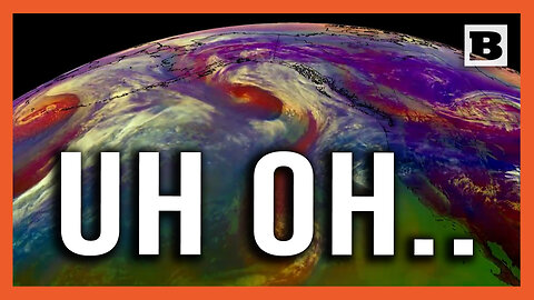
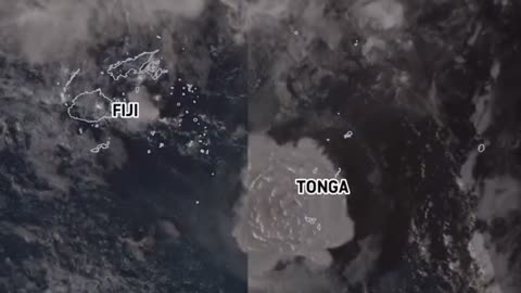
3 years agoSatellite imagery shows shockwave as Tonga's Hunga volcano erupts, causing tsunamiEarth Wind and FireVerified
2 years agoSatellite imagery reveals damage by Sudanese military factions at airports and government buildingsJTN2020Verified
1 month agoAshton Forbes-US Military's Secret Surveillance REVEALED - Wide Area Motion ImageryRolling With You
3 years agoLost American Viking Settlement Discovered By Space Archaeologists Using Satellite ImagerySeeker Land