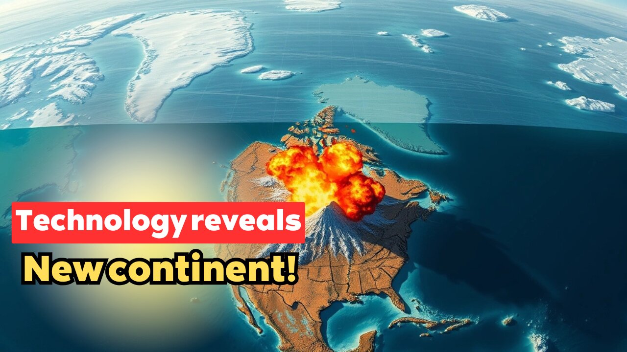
Satellite Imagery Reveals Hidden Continental Fragment Under the Arctic Ocean
In this video, we explore the revelation of a hidden continental fragment beneath the Arctic Ocean, identified through satellite imagery. The discovery of this submerged landmass opens up new questions about Earth's ancient history and tectonic evolution. We’ll dive into how satellite technology was used to uncover this fragment and what it tells us about the Arctic's geological past.
Satellite imagery, hidden fragment, Arctic Ocean, continental fragment, Earth’s history, tectonic evolution, submerged landmass, satellite technology, Earth science, geological survey, Arctic geology, plate tectonics, ocean floor, geological past, geophysical research, tectonic shifts, ocean exploration, ice sheet studies, geophysical technology, seismic data, Arctic research, continental drift, ocean mapping, landmass discovery, scientific methods.
#SatelliteImagery #ArcticOcean #ContinentalFragment #TectonicEvolution #EarthHistory #SubmergedLandmass #SatelliteTechnology #OceanMapping #GeologicalSurvey #TectonicShifts #ArcticGeology #EarthScience #GeophysicalResearch #OceanExploration #ContinentalDrift
-
 LIVE
LIVE
Glenn Greenwald
2 hours agoIsrael Slaughters More Journalists, Hiding War Crimes; Trump's Unconstitutional Flag Burning Ban; Glenn Takes Your Questions | SYSTEM UPDATE #504
14,025 watching -
 LIVE
LIVE
MattMorseTV
1 hour ago🔴It's EVEN WORSE than we thought...🔴
744 watching -
 LIVE
LIVE
SpartakusLIVE
1 hour ago#1 Rocket CHAMPION of Verdansk wields UNSTOPPABLE new META
312 watching -
 56:41
56:41
Donald Trump Jr.
2 hours agoFull Court Press: Sen Eric Schmitt Writes New Playbook for the Left's Lawfare | TRIGGERED Ep.270
44.7K34 -
 1:17:26
Katie Miller Pod
1 hour agoEpisode 3 - Senator Katie Britt | The Katie Miller Podcast
5.34K -
 1:05:24
BonginoReport
2 hours agoTrump Protects Old Glory in New EO! - Nightly Scroll w/ Hayley Caronia (Ep.119) - 08/25/2025
59.2K19 -
 LIVE
LIVE
The Jimmy Dore Show
1 hour agoSnoop Dogg Is DONE w/ LBGTQ+ Propaganda In Kids Movies! Trump Outlaws Burning the U.S. Flag!
6,675 watching -
 LIVE
LIVE
Quite Frankly
5 hours ago"Weekend News, All-Time Physical Feats, Mixed Reels" 8/25/25
470 watching -
 LIVE
LIVE
The Mike Schwartz Show
2 hours agoTHE MIKE SCHWARTZ SHOW Evening Edition 08-25-2025
4,153 watching -
 1:43:44
MTNTOUGH Podcast w/ Dustin Diefenderfer
17 hours agoEddie Penney: DEVGRU to Single Dad of 3 Overnight | MTNPOD #130
4.36K