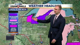
Gino Recchia NBC26 Storm Shield Weather Forecast
After a very chilly start with temperatures in the 20s and 30s for Northeast Wisconsin, we have been warming up nicely this afternoon thanks to an increase in a southwest wind flow. Our average high for this time of the year is around 56 and we are seeing highs around and even a few degrees above it. The steady breeze out of the southwest will continue into the night around 10 to 15 mph. Temperatures will remain mild in the mid-40s. However, as we turn the page to tomorrow, we are going to have clouds rapidly increase after 3-4 am and then rain will shortly follow suite. A low pressure is tracking across Southern Canada with a cold front extending all the way down into the Great Lakes. Ahead of the cold front, temperatures will once again climb into the mid and upper 50s. If there are some breaks in the clouds during the afternoon, I would not be surprised if we get near 60 degrees. Winds will be steady out of the southwest to start but later in the evening change out of the northwest around 10 to 20 mph. We will see gusts near 30 mph. Rain showers will come to an end Friday evening. The weekend will be chilly with highs in the lower to mid-40s. On Saturday, a secondary cold front will provide a few additional scattered showers across the area. Some of these rain showers could turn into a rain snow mix, especially farther north you live.
-
 3:36
3:36
WGBA
5 years agoGino Recchia NBC26 Storm Shield Weather Forecast
16 -
 3:07
3:07
WGBA
5 years agoGino Recchia NBC26 Storm Shield Weather Forecast
2 -
 12:19
12:19
Great Lakes Weather
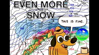
2 years agoMore Active Weather Ahead, Thunderstorms AND Snow in One Week -Great Lakes Weather
4 -
 18:33
18:33
Great Lakes Weather
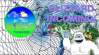
1 year agoRED ALERT: Dangerous Blizzard Likely in Michigan, Indiana -Great Lakes Weather
10 -
 14:22
14:22
williamswx98
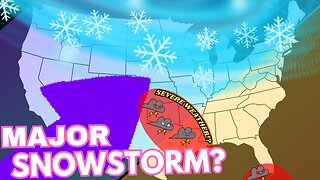
4 months agoSpringtime Snowstorms And Severe Weather Is Looking Likely This week...
18 -
 14:17
14:17
Great Lakes Weather
9 months agoStrong Thunderstorms Possible in Michigan Tomorrow; Snow In the Forecast -Great Lakes Weather
18 -
 15:40
15:40
Great Lakes Weather
11 months agoSupercell Sunday: Severe Weather Potential for Michigan and Indiana -Great Lakes Weather
14 -
 11:15
11:15
Great Lakes Weather
1 year agoDry Spell followed by Thunderstorms and... SNOW? -Great Lakes Weather
7 -
 9:45
9:45
Great Lakes Weather
10 months agoIsolated Severe Storms Possible Tomorrow, Cooler Weather Ahead -Great Lakes Weather
4 -
 10:34
10:34
Great Lakes Weather
11 months agoThunderstorms Tuesday; Quiet Pattern Ahead with Gradual Warming Trend -Great Lakes Weather
8