Gino Recchia NBC26 Storm Shield Weather Forecast
5 years ago
1
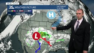
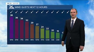
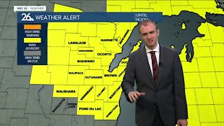
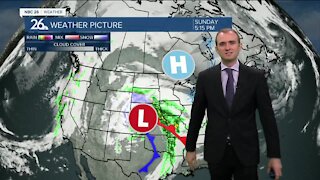
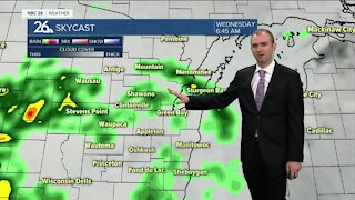
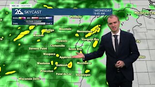
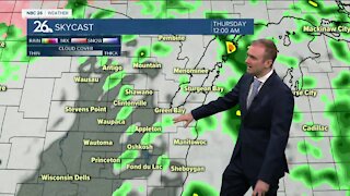
Northeast Wisconsin is sitting under an unstable air mass right now which is why we will need to monitor the radar closely this evening. A cold front is moving through the Badger state as we speak from the west. This front, coupled with daytime heating and atmospheric conditions will generate showers and thunderstorms this evening and tonight. The risk for tonights severe storms will be primarily strong winds, but there will likely be some small hail embedded in some of the thunderstorms. The thunderstorm cluster is currently projected to move out of the area by midnight. Lows will bottom out in the low-60s.
Loading comments...
-
 3:36
3:36
WGBA
9 months agoWill it be necessary to have both the AC & the heat on during the same day??
1651 -
 3:23
3:23
WGBA
3 years agoGino Recchia NBC26 Weather Forecast
7 -
 3:35
3:35
WGBA
3 years agoGino Recchia NBC26 Weather Forecast
4 -
 3:25
3:25
WGBA
3 years agoGino Recchia NBC26 Weather Forecast
13 -
 3:13
3:13
WGBA
3 years agoGino Recchia NBC26 Weather Forecast
7 -
 3:14
3:14
WGBA
3 years agoGino Recchia NBC26 Weather Forecast
3 -
 3:22
3:22
WGBA
3 years agoGino Recchia NBC26 Weather Forecast
11 -
 3:32
3:32
WGBA
3 years agoGino Recchia NBC26 Weather Forecast
7 -
 4:44
4:44
WGBA
3 years agoGino Recchia NBC26 Weather Forecast
7 -
 3:52
3:52
WGBA
3 years agoGino Recchia NBC26 Weather Forecast
8