Exploring Historic Braddock's Road
This is a compilation of my photos and videos of my exploration of the historic Braddock's Road in the Maryland Panhandle, Pennsylvania, and parts of West Virginia.
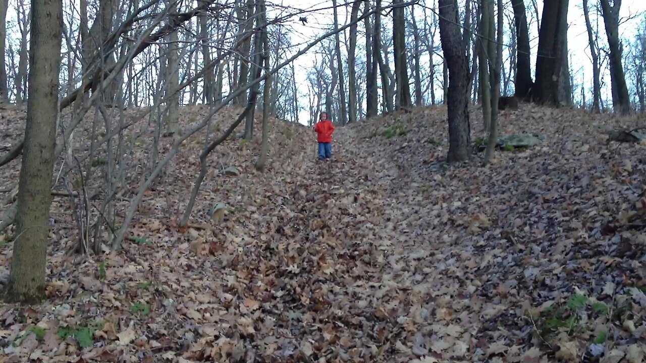
First, you can see traces of the old British military road on Big Savage Mt, in Maryland, in two different seasons. Then, I stop at various sites along the trail. It ends in Braddock, PA, where the infamous Battle of the Monongahela took place.
Latitude and Longitude Coordinates of the sites:
West slope of Big Savage Mountain:
39°39'59.70"N, 78°58'11.86"W
East slope of Big Savage Mountain: 39°39'56.00"N, 78°58'3.47"W
Little Meadows Road Trace:
39°41'44.89"N, 79° 5'56.44"W
Key's Gap:
39°15'41.84"N, 77°45'45.49"W
Fort Cumberland/Wills Creek:
39°38'51.83"N, 78°45'57.68"W
Blocher Rd Christmas Tree Farm: 39°40'50.73"N, 79° 1'31.15"W
Negro Mt. Road Trace:
39°41'38.69"N, 79°14'2.81"W
Monongahela Crossing site (7-Eleven Parking Lot - Duquesne, PA):
40°22'58.60"N, 79°51'25.01"W
Overlooking Braddock, PA -
40°23'44.46"N, 79°52'22.65"W
Music Attributions:
Birth of a Hero, by Benjamin Tissot (also known as Bensound). Artist: https://www.bensound.com/royalty-free-music/track/birth-of-a-hero
-
 0:18
0:18
Mike Energy
3 years agoExploring the Historic Live Oak Tree in Town
37 -
 0:37
0:37
WGBA
3 years agoOshkosh Historic Place
14 -
 0:26
0:26
polarbearus
3 years agoBaby rabbits exploring
25 -
 2:23
2:23
Deer In Nature
3 years agoFawns exploring
712 -
 3:24
3:24
Whats Happening Entertainment
3 years agoMurfreesboro Historic Haunt 2018
1.08K -
 2:20
2:20
FrankChristopherTV
3 years agoExploring the Gigantic Garden
43 -
 0:13
0:13
Pearls World
3 years agoExploring the lake
48 -
 1:08
1:08
KJRH
3 years agoJenks-Union historic rivalry continues
-
 3:20
3:20
ShaneRumbles
3 years agoExploring Montana
26 -
 3:11
3:11
ShaneRumbles
3 years agoExploring Montana
201