Use Google Earth & Litchi for Aerial Drone Photography
3 years ago
150
Can you plan your photography shots in advance using Google Earth? Can LItchi automate those creative shots into a mission? That's what I'm trying to figure out in this video. I'll share my methodology and lessons learned and if Litchi is a good tool for this application.
Visit my Blog for other fun drone projects: https://aviatorsdronelog.blogspot.com/
Loading 2 comments...
-
 13:48
13:48
jdmach77
3 years ago $0.01 earnedAerial photography
259 -
 0:41
0:41
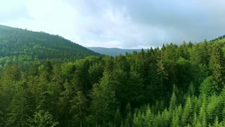
Danno58
3 years ago $0.02 earnedDrone Aerial Video
80 -
 9:01
9:01
man_camera
3 years ago $0.02 earnedDJI drone aerial photography video views day 2 - man & camera
123 -
 0:30
0:30
tonny1985
3 years agoDrone photography for Powerplant
5 -
 6:27
6:27
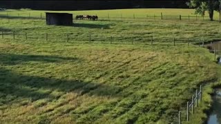
man_camera
3 years ago $0.01 earnedDji drone aerial photography video views day 1 - man & camera
83 -
 1:27
1:27
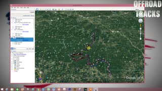
OffroadTracks
3 years agoOffroad Tracks Tutorial Import KML Track to Google Earth
220 -
 3:20
3:20
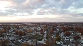
GM Davis Photography
3 years ago $0.05 earnedDrone Footage Compilation | GM Davis Photography. Upstate, South Carolina
468 -
 1:40
1:40
HMOBLEY
3 years agoFAA LICENSED AERIAL DRONE PHOTOS/VIDEOS/INSPECTIONS
8 -
 1:05
1:05
FAA DRONE OPERATOR
3 years agoAERIAL DRONE PHOTOS/VIDEOS/INSPECTIONS
18 -
 0:52
0:52
FAA DRONE OPERATOR
3 years agoFAA LICENSED AERIAL DRONE OPERATOR
14