Gino Recchia NBC26 Weather Forecast
Frost advisories are once again in effect for parts of the area. It looks like temperatures will be the coldest near daybreak as cloudy skies begin to gradually thin with the departure of the rain showers today. We will see a lot more sunshine tomorrow as this storm complex moves across the lake. There could be a few showers close to the lakeside areas, but further inland will remain clear of any rainfall. Temperatures will climb into the lower to mid 50s. Temperatures do warm up next week. Highs get into the upper 50s to lower 60s Monday with gusty SW winds and partly cloudy skies. Another round of rain showers will make their return on Tuesday and Wednesday with highs in the mid/upper 60s Tuesday and lower 60s on Wednesday. Thursday appears to be dry at this time with a high near 60. Next weekend is showing a potential warm-up with highs surging into the upper 60s and lower 70s if the pattern holds, a complete 180 from what we will be seeing this weekend under below average temperatures.
-
 4:07
4:07
WGBA
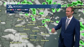
3 years agoGino Recchia NBC26 Weather Forecast
12 -
 3:48
3:48
WGBA
3 years agoGino Recchia NBC26 Weather Forecast
-
 12:19
12:19
Great Lakes Weather
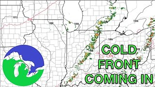
2 years agoMore Active Weather Ahead, Thunderstorms AND Snow in One Week -Great Lakes Weather
4 -
 15:40
15:40
Great Lakes Weather
11 months agoSupercell Sunday: Severe Weather Potential for Michigan and Indiana -Great Lakes Weather
14 -
 14:44
14:44
Great Lakes Weather
1 year agoSEVERE WEATHER EVENT Possible Friday in Indiana -Great Lakes Weather
-
 14:17
14:17
Great Lakes Weather
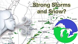
8 months agoStrong Thunderstorms Possible in Michigan Tomorrow; Snow In the Forecast -Great Lakes Weather
18 -
 9:13
9:13
TiffanysContent
5 months agoChicago Fog, Gulf Coast Flood, ThunderStorms, Freezing Rain, Snow, Atmospheric River
41 -
 9:45
9:45
Great Lakes Weather
10 months agoIsolated Severe Storms Possible Tomorrow, Cooler Weather Ahead -Great Lakes Weather
4 -
 2:39
2:39
Lulubeans
3 years agoCrazy San Antonio Forecast 2/4/2021
26 -
 11:15
11:15
Great Lakes Weather
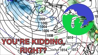
1 year agoDry Spell followed by Thunderstorms and... SNOW? -Great Lakes Weather
7