Premium Only Content
Gino Recchia NBC26 Weather Forecast
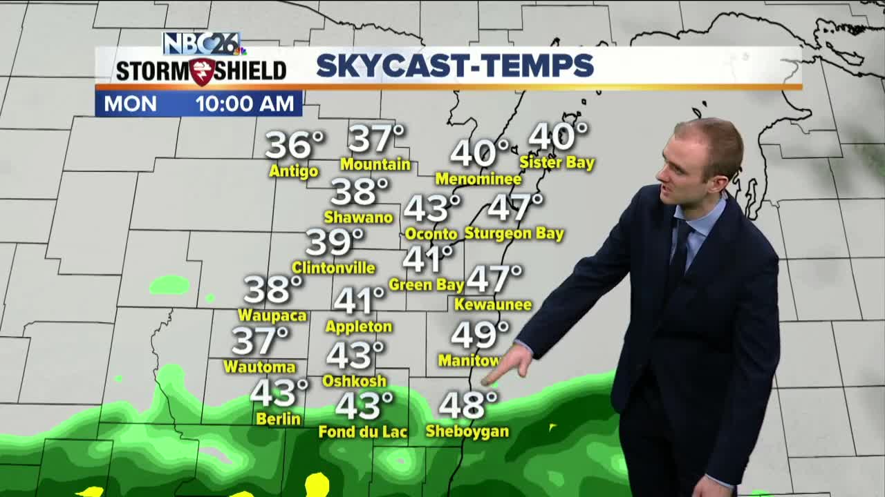
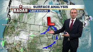
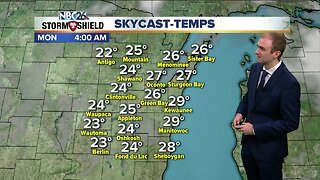
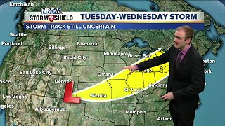
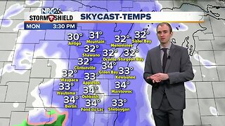
We saw the first 50 degree day in Green Bay this year, the warmest temperatures since October 27th. If you're curious, 133 days to be exact. Clouds will be building tonight ahead tonight as a new storm system moves into our region tomorrow. Temperatures will fall into the lower 40s with southwest winds at 10-15 mph. Monday calls for scattered to widespread rain through the majority of the day. Temperatures will rise into the upper 40s and lower 50s with a southwest wind at 5 to 15 mph with some higher gusts. Rainfall totals will range from a quarter to three quarters of an inch. This may result in flooding concerns along area rivers and streams due to the snow melt adding water to the tributaries. We will cool off to the lower 40s Tuesday with sunny skies and winds out of the north at 5 to 10 mph. There's the potential for a wintry mix or snow Wednesday morning, some minor accumulation is possible, especially in the Northwoods. Highs will climb into the lower 40s in the afternoon. A couple light rain showers may pass through on our Thursday with highs getting up to near 50. On Friday, we will off a tad back in the mid 40s with mostly sunny skies.
-
 1:45
1:45
WGBA
1 year agoFond du Lac Cardinals start the football season with a new $5.3 million nest
296 -
 2:59
2:59
WGBA
5 years agoGino Recchia NBC26 Weather Forecast
10 -
 2:51
2:51
WGBA
5 years agoGino Recchia NBC26 Weather Forecast
14 -
 3:13
3:13
WGBA
5 years agoGino Recchia NBC26 Weather Forecast
19 -
 2:38
2:38
WGBA
5 years agoGino Recchia NBC26 Weather Forecast
9 -
 3:50
3:50
WGBA
5 years agoGino Recchia NBC26 Weather Forecast
22 -
 2:10
2:10
WGBA
5 years agoGino Recchia NBC26 Weather Forecast
14 -
 3:49
3:49
WGBA
5 years agoGino Recchia NBC26 Weather Forecast
39 -
 3:38
3:38
WGBA
5 years agoGino Recchia NBC26 Weather Forecast
18 -
 2:55
2:55
WGBA
5 years agoGino Recchia NBC26 Weather Forecast
11