NBC26 Storm Shield weather forecast
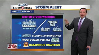
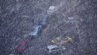
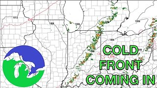
Our very active weather continues. A strong area of low pressure will impact the area today. The main brunt of this storm will be later this morning into the afternoon where Green Bay and the Fox Cities will see areas of snow, sleet and freezing rain at times. As of now, it looks like snow and sleet accumulations (across the Fox Valley)will be between 1-6"(less south - more north), but icing could be a problem in spots. Northwest of the Fox Valley, you could see 6-12". Because of all this potential mess, a Winter Storm Warning is in effect. Traveling will become hazardous. Blowing and drifting snow will be a possibility in spots and icing may cause some problems to some trees or power lines if it's heavy enough. It gets cold and blustery tonight as the precipitation moves out. Lows will be in the low-single digits. Wind chills Friday morning will be in the -10s & -20s. Get ready for a cold, blustery day on Friday with highs in the mid-single digits with wind chills -10 to -20° most of the day. Saturday will be dry and cold with highs in the low-teens. We'll have another chance of a little snow on Sunday, mainly to the south with highs in the low-20s. Another significant winter system may affect the area next Tuesday or Wednesday.
-
 4:29
4:29
WGBA
5 years agoNBC26 Storm Shield weather forecast
7 -
 4:29
4:29
WGBA
5 years agoNBC26 Storm Shield weather forecast
11 -
 2:16
2:16
Mohibbanchannels
4 months agoThundersnow Storm
251 -
 9:45
9:45
Great Lakes Weather
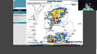
9 months agoIsolated Severe Storms Possible Tomorrow, Cooler Weather Ahead -Great Lakes Weather
4 -
 8:36
8:36
TiffanysContent
4 months agoDaily Weather Update: Snowstorm, Tornadoes, Thunderstorms, LIGHTNING, Heavy Rainfall, Black Ice, FOG
38 -
 32:59
32:59
Great Lakes Weather
11 months agoLive SEVERE WEATHER BRIEFING for Michigan, Indiana, Ohio
2 -
 58:14
58:14
Great Lakes Weather
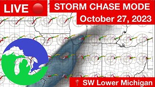
7 months agoLIVE STORM CHASE MODE Late Season in SW Lower Michigan -Great Lakes Weather
20 -
 1:34
1:34
AmericanNewsBullet
5 months agoBreaking News: Northeast USA Braces for Severe Winter Storm | Latest Updates
19 -
 17:25
17:25
Great Lakes Weather
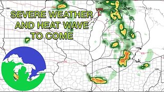
10 months agoSevere Weather Potential Next Week with a Possible Heat Wave To Come -Great Lakes Weather
34 -
 15:40
15:40
Great Lakes Weather
10 months agoSupercell Sunday: Severe Weather Potential for Michigan and Indiana -Great Lakes Weather
14