How Do Hurricanes Form? Meteorology - Weather Basics
What Causes a Tornado? - Meteorological Basics
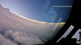
NOAA: 'The Hurricane Hunters'
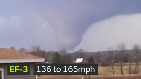
What is the Enhanced Fujita Tornado Scale - Weather Basics - Meteorology
What is a Blizzard? Weather Basics - Meteorology
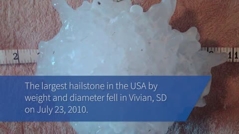
The Science of Hail - Meteorology - Weather Basics
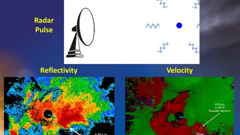
Doppler Weather Radar Basics - Weather Basics - Meteorology
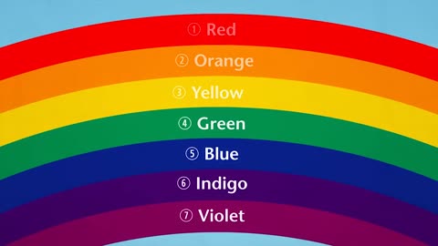
How Do Rainbows Form? - Weather Basics
Thunderstorm Types - Meteorology - Weather
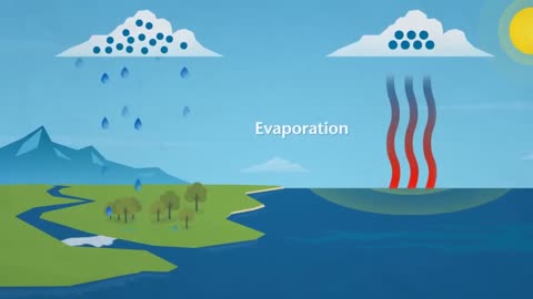
How Does Rain Form? What is the Water Cycle?
Hurricanes - Weather Basics - Meteorology 101
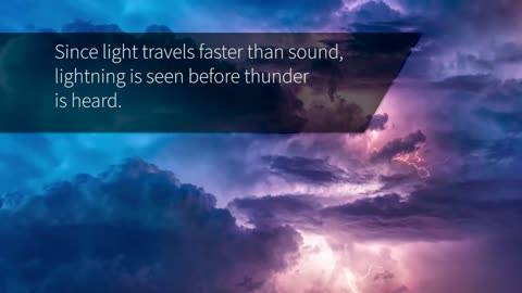
The Science Behind Lightning - Meteorology

How does snow form? - Meteorology
Storm Spotting: Storm Motion and Positioning- Meteorology
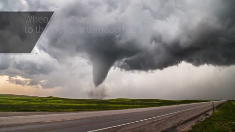
The Science Behind Tornadoes - Meteorology
A Tutorial on Cloud Types - Weather 101 - Meteorology
NOAA: 'The Hurricane Hunters'
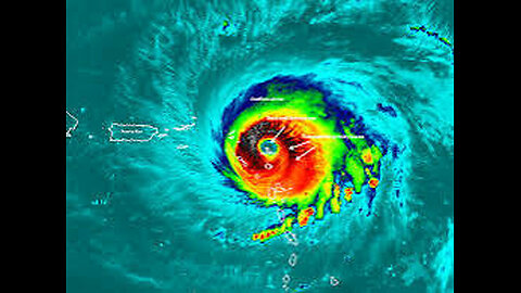
A hurricane hunter is a pilot brave enough to fly an airplane into the middle of a hurricane to gather data on temperature, humidity, pressure, etc. This data is critical for forecasting the intensity and path of hurricanes.
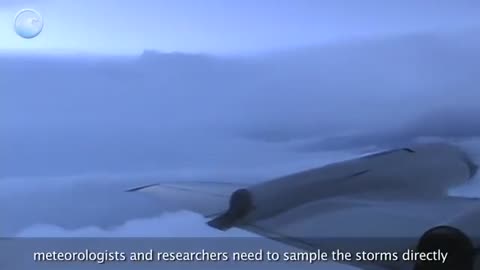
NOAA pilots, planes and researchers fly into the world's worst weather.
Data collected by the agency's high-flying meteorological stations help forecasters make accurate predictions during a hurricane and help hurricane researchers achieve a better understanding of storm processes, improving their forecast models.
P-3 Orion: Into the Storm
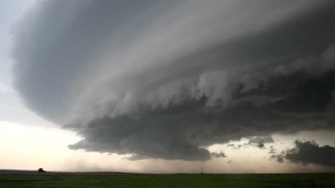
Slicing through the eyewall of a hurricane, buffeted by howling winds, blinding rain and violent updrafts and downdrafts before entering the relative calm of the storm’s eye, NOAA’s two Lockheed WP-3D Orion four-engine turboprop aircraft, affectionately nicknamed "Kermit" (N42RF) and "Miss Piggy" (N43RF), probe every wind and pressure change, repeating the often grueling experience again and again during the course of an 8-10 hour mission.
Scientists aboard the aircraft deploy Global Positioning System (GPS) dropwindsondes as NOAA Corps officers pilot and navigate the P-3 through the hurricane. These instruments continuously transmit measurements of pressure, humidity, temperature, and wind direction and speed as they fall toward the sea, providing a detailed look at the structure of the storm and its intensity. The P-3s' tail Doppler radar and lower fuselage radar systems, meanwhile, scan the storm vertically and horizontally, giving scientists and forecasters a real-time look at the storm. The P-3s can also deploy probes called bathythermographs that measure the temperature of the sea.
More More Meteorology Videos
https://rumble.com/playlists/JfAj918PQuc Videos
https://rumble.com/playlists/JfAj918PQuc
-
 4:11
4:11
Earth Wind and Fire
2 months agoFlying Into the Eye of Cat 5 Hurricane Irma 2017
2012 -
 3:27
3:27
Creative Society
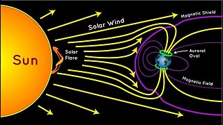
2 months agoNOAA Deputy Director on the Current State of Hurricanes
7981 -
 0:33
0:33
TiffanysContent
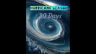
26 days agoTropical Cyclogenisis 🌀Season! Yes, Hurricane Season!
30 -
 24:44
24:44
Real Fishing Life
15 days agoCommercial Fisherman's Reaction's, Geomagnetic Storm & Toxic Chemtrail (Geoengineering) Operations
3287 -
 3:42
3:42
828wayne83
1 month agoTHERE'S A STORM 'a COMIN':Another Cloudy Western Washington Day
54 -
 4:19
4:19
TiffanysContent
1 month agoTORNADO WARNING ⚠️TAKE SHELTER NOW!
34 -
 0:18
0:18
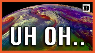
Breitbart
1 month agoUh Oh... Satellite Imagery Shows 3 Cyclones Heading Towards Western U.S.
1.28K -
 1:37
1:37
DebraJayne
19 days agoThere's a Battle Going On
24 -
 0:33
0:33
MicroSight
6 months ago11/24/23 - Chemtrail Exhuast - UPS Flight
1112 -
 1:23:38
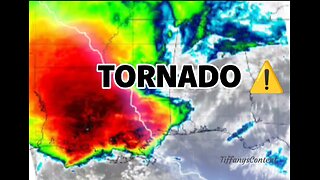
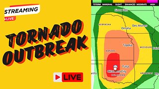
Aaron Tuttle Meteorologist
22 days agoWatch: Monday Tornado Outbreak Discussion
837