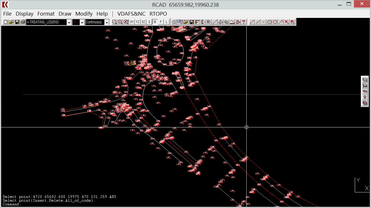
RTOPO Hydrology CAD for topography, Editing XYZ point files
2 years ago
33
Simple, powerful and inexpensive CAD software for surveying. You can do triangulation, isolines, color-filled contour maps, sections, intersections, volume, editing XYZ files, simulation of rainwater runoff (see https://rumble.com/v3tosh4-rtopo-hydrology-simulating-rainwater-runoff.html) and much more. You can represent 4D points cloud and process hundreds of thousands of points or triangles, even on less powerful PCs.
You can see how to modify a XYZ point file. RTOPO can edit interactively the points (modify, delete or add), can modify the coordinates, the code and the position (in 3DPOLY or SPLINE).
http://rcad.eu/rtopo/
Watch the subtitles for better understanding.
Loading 1 comment...
-
 LIVE
LIVE
LFA TV
9 hours agoLIVE & BREAKING NEWS! | FRIDAY 12/05/25
2,886 watching -
 LIVE
LIVE
Game On!
15 hours agoHAPPY FOOTBALL FRIDAY! NFL Week 14 Betting Preview!
535 watching -
 1:05:41
Crypto Power Hour
10 hours ago $2.74 earnedBlockchain Solutions w/ U.S. Healthcare Featuring Solum Global
21.2K9 -
 1:18:24
The Illusion of Consensus
1 month ago“Your Math Is WRONG” - Mark Cuban GRILLED Over His NBA COVID Vaccine Mandate | Part 2
3.15K10 -
 14:17
14:17
RTT: Guns & Gear
16 hours ago $2.33 earnedBest Budget RMR Red Dot 2025? Gideon Optics Granite Review
5.58K3 -
 LIVE
LIVE
BEK TV
23 hours agoTrent Loos in the Morning - 12/05/2025
260 watching -
 LIVE
LIVE
The Bubba Army
22 hours agoWill Michael Jordan TAKE DOWN NASCAR - Bubba the Love Sponge® Show | 12/05/25
1,317 watching -
 35:55
35:55
ZeeeMedia
15 hours agoPfizer mRNA in Over 88% of Human Placentas, Sperm & Blood | Daily Pulse Ep 156
10.1K104 -
 LIVE
LIVE
Pickleball Now
5 hours agoLive: IPBL 2025 Day 5 | Final Day of League Stage Set for Explosive Showdowns
233 watching -
 9:03
9:03
MattMorseTV
17 hours ago $19.08 earnedIlhan Omar just got BAD NEWS.
39.2K96