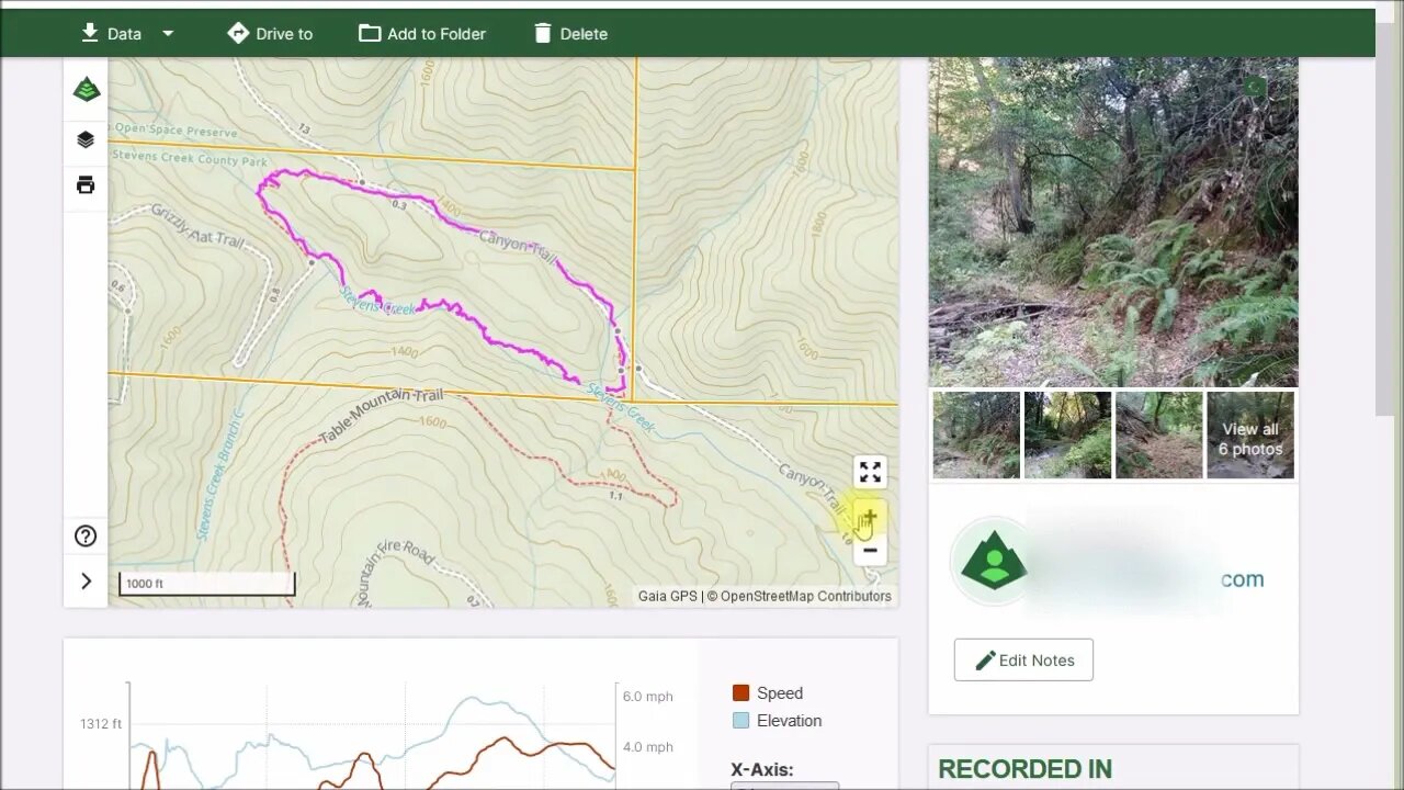
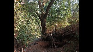
Old 1895 Stevens Canyon Road: Table Mountain crossing to Grizzly Flat crossing
This was a spur of the moment hike between the creek crossings at the Table Mountain and the Grizzly Flat trails.
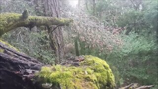
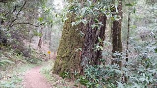
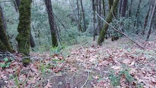
The hike was about 1 mile (1.6km) in length and took about an hour. That was 50 mins. of bushwhacking up the creek bed and 10 mins. to hike back on the maintained trail. Best done in late summer/early fall when the creek has dried up. There are a few spots that require some climbing and walking across fallen trees to get past.
The 1895 topo map shows the old Stevens Canyon Road running up the south side of the canyon all they along this stretch. And the traces of that road are all on that side of the creek. In the last 125 years, the creek has shifted course in places and washed out the road.
About the USGS HTMC:
https://www.usgs.gov/programs/national-geospatial-program/historical-topographic-maps-preserving-past
View/download maps on the TopoView site:
https://ngmdb.usgs.gov/topoview/
I used the 1895 Palo Alto quadrangle or the 1900 historical topo as listed in GaiaGPS:
https://www.gaiagps.com/
More to come...
Subscribe for more content like this
Comment, rate, share & click the bell icon
And as always, thanks for watching
-
 7:32
7:32
4Crawler
3 years agoStevens Creek / Grizzly Flat Crossing
14 -
 7:31
7:31
4Crawler
3 years agoOld 1895 Stevens Canyon Road: Beyond Grizzly Flat Trail
76 -
 4:27
4:27
4Crawler
3 years agoOld 1895 Stevens Canyon Road - Along the Grizzly Flat Trail
2 -
 7:24
7:24
4Crawler
3 years agoScouting Access to the Old 1897 Stevens Canyon Road: Beyond Grizzly Flat Trail
64 -
 13:40
13:40
4Crawler
3 years agoOld 1895 Stevens Canyon Road: First Segment
11 -
 8:45
8:45
Eric Tennant
3 years agoBlack Canyon Trail - Mountain Biking USA
17 -
 0:43
0:43
rumblestaff
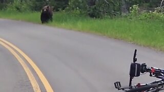
3 years agoMountain bikers have scary encounter with a grizzly bear
1.51K5 -
 0:05
0:05
NewHampshire603
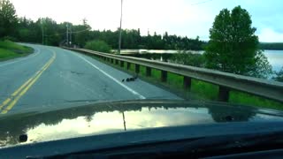
3 years agoDucks crossing the road
132 -
 40:45
40:45
Donald Trump Jr.
7 hours agoPeace by Peace: Solving One Problem After Another | Triggered Ep.268
63.7K60 -
 LIVE
LIVE
FrizzleMcDizzle
4 hours ago $1.31 earnedRemnant 2 - Dark Souls-like Shooter?!
149 watching