Premium Only Content
This video is only available to Rumble Premium subscribers. Subscribe to
enjoy exclusive content and ad-free viewing.

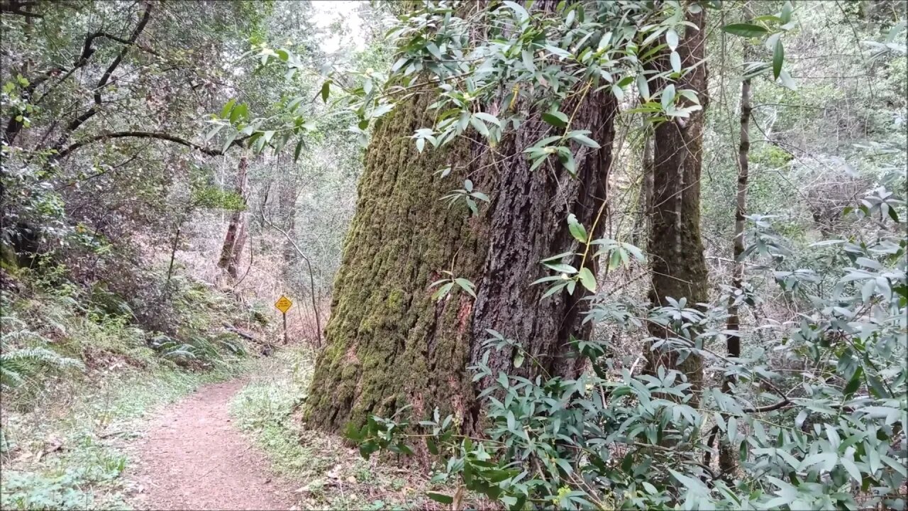
Old 1895 Stevens Canyon Road - Along the Grizzly Flat Trail
2 years ago
2
The 1895 topo map shows the old Stevens Canyon Road running up along the location of the modern Grizzly Flat Trail.
This was filmed in early March, 2020 when I was first starting to try and figure out where this old road went. I hadn't ventured too far off the trail at this time.
About the USGS HTMC:
https://www.usgs.gov/programs/national-geospatial-program/historical-topographic-maps-preserving-past
View/download maps on the TopoView site:
https://ngmdb.usgs.gov/topoview/
I used the 1895 Palo Alto quadrangle or the 1900 historical topo as listed in GaiaGPS:
https://www.gaiagps.com/
More to come...
Subscribe for more content like this
Comment, rate, share & click the bell icon
And as always, thanks for watching
Loading comments...
-
 LIVE
LIVE
SpartakusLIVE
6 hours ago $13.53 earnedThe Duke rallies squad for LAUGHS into the night with a SMATTERING of TOXIC banter
2,140 watching -
 1:03:51
Flyover Conservatives
23 hours agoGeneration Z’s Revolution: 17 Year Old Author on the Return of Faith, Family, and the End of Feminism - Hannah Faulkner; Economic Update - Dr. Kirk Elliott | FOC Show
27.5K2 -
 1:12:43
Adam Does Movies
8 hours ago $6.48 earnedMoviegoers Are Singing Now! + Lilo & Stitch + Sonic 3 - LIVE!
55.8K5 -
 1:26:05
Donald Trump Jr.
11 hours agoRegime Media Imploding: What’s Next for MSNBC? Plus Michael Knowles & Alex Marlow | TRIGGERED Ep.194
209K199 -
 37:26
37:26
Glenn Greenwald
9 hours agoGlenn Takes Your Questions: On Trump's Cabinet, The G20 Summit, and More | SYSTEM UPDATE LOCALS SPECIAL
77.9K23 -
 2:10:20
We Like Shooting
15 hours ago $1.19 earnedWe Like Shooting 586 (Gun Podcast)
16K -
 52:14
52:14
Uncommon Sense In Current Times
10 hours ago $0.33 earned“Pumpkin Pie Politics: Bridging the Thanksgiving Divide to Protect The Family"
12K -
 1:01:28
The StoneZONE with Roger Stone
5 hours agoWhy Jack Smith Owes Americans Millions of Dollars for Fake Investigations | The StoneZONE
33.3K4 -
 3:50:40
Tundra Gaming Live
9 hours ago $2.27 earnedThe Worlds Okayest War Thunder Stream
33K -
 2:22:30
WeAreChange
7 hours agoBREAKING: Biden Admin Could SEND NUKES To Ukraine?! UK & France To Send Troops? w/ Roger Stone
49.6K16