2 months agoAshton Forbes-US Military's Secret Surveillance REVEALED - Wide Area Motion ImageryRolling With You
1 year agoSatellite Imagery Exposes Potential Russian Nuclear Storage Site in BelarusFrom the Desk of Gav
1 year agoSudan Civil War | Before & After - New Satellite Imagery Reveals Level Destruction Of DarfurGlobalDispatch
11 months agoPentagon Pressed On Satellite Imagery Showing Four 'Likely' Chinese Listening Posts In CubaForbes Breaking News
1 year agoGAZA IN RUINS: SATELLITE IMAGERY RESEARCHERS SAY ISRAEL HAS DESTROYED OR DAMAGED 56,000 BUILDINGSMinVoVerified
3 years agoLost American Viking Settlement Discovered By Space Archaeologists Using Satellite ImagerySeeker Land
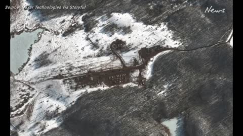
3 years agoSatellite imagery shows new deployments in Southern Belarus and Western RussiaNews Of World
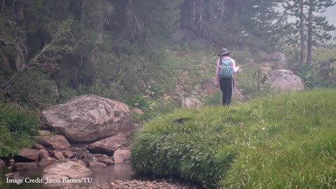
5 months agoForecasting the Future: How NASA Satellite Data Helps Trout PopulationsSpaceFrontiersNASA
1 year agoLas Vegas & Lake Mead 1972-2021 Satellite Timelapse NASA Imagery #lasvegas #lakemead #water #droughtMOJO ADVENTURES
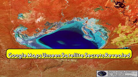
28 days agoGoogle Maps: Unseen Satellite Secrets Revealed! #GoogleMaps #SatelliteView #HiddenFeaturesoddityworldtube
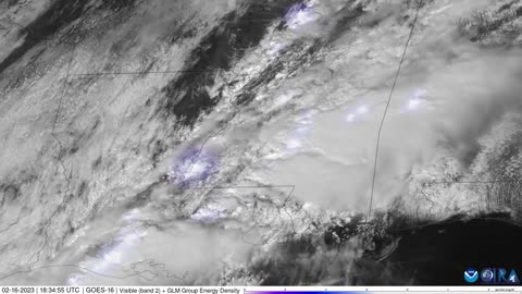
2 years agoSatellite imagery captures lightning as severe storms move across southern statesJTN2020Verified