1 year agoThe AMAZING Evolution of Geospatial Intelligence #shorts #geospatial #remotesensing #intelligenceThe NDS Show Podcast
2 years agoDisaster Management Using Science and Technology: Remote Sensing, GIS, and GPSenangsunarja
2 months agoProf. Islam Abou El-Magd - President, National Authority for Remote Sensing & Space Sciences, EgyptProgressPotentialAndPossibilities
3 months agoDr. Ilke Demir, Ph.D. - Deep Fake Detection, Deterrence & DefenseProgressPotentialAndPossibilities
2 months agoProgress, Potential, and Possibilities Weekly Re-Broadcast - 4/13/25ProgressPotentialAndPossibilities
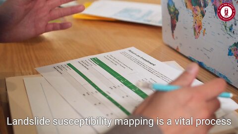
4 months ago🌍 Landslide Susceptibility Mapping in ArcGIS – Predict & Prevent Disasters! 🏔️⚠️indiageosurvey
4 months agoLand Surveying in the Metaverse | The Future of Digital Mapping & Virtual Real Estateindiageosurvey
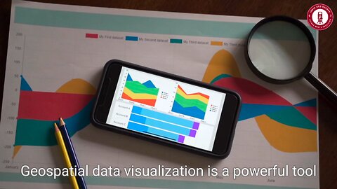
4 months ago🌍 Geospatial Data Visualization – Transform Data into Powerful Insights! 📊🗺️indiageosurvey
1 year agoHidden Wonders of Antarctica: NASA's ICESat-2 Reveals New Subglacial Lakes 🌊❄️NASA Unveiled
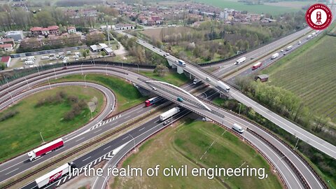
3 months ago🌍 Geo Systematics in Civil Engineering: The Future of Smart & Sustainable Infrastructure! 🚀🏗️indiageosurvey