"NASA's Satellite Fusion: Landsat + Sentinel-2 Harmonized Data Explained!"
✅ Video Description:
🌍 Discover how NASA is revolutionizing Earth observation!
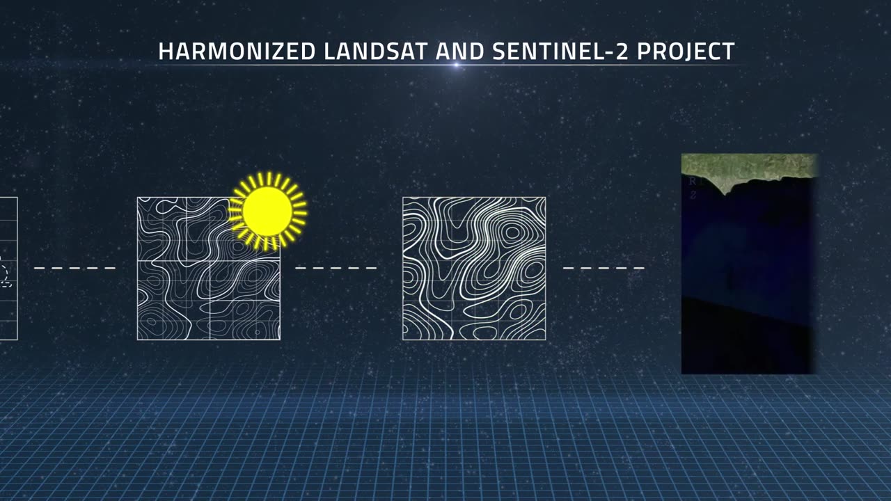
This video explains the Harmonized Landsat and Sentinel-2 (HLS) project—an incredible initiative by NASA to combine satellite data from Landsat and Sentinel-2. By merging the power of both systems, scientists now get high-resolution, consistent images of Earth every 2-3 days!
🔍 In this video, you'll learn:
What is the HLS Project?
How NASA harmonizes data from two different satellites
The importance of this fusion for climate monitoring, agriculture, forest tracking & more
How global science benefits from open satellite data
🌐 Whether you're a space lover, data enthusiast, or climate researcher, this video simplifies a complex mission into an easy-to-understand story!
📡 #NASA #Landsat #Sentinel2 #EarthObservation #HLS #RemoteSensing #SatelliteData #ClimateChange #OpenScience
🎥 Don't forget to Like, Share & Subscribe for more amazing space & science content!
✅ Hashtags / Tags for Rumble:
sql
Copy
Edit
NASA, Harmonized Landsat, Sentinel-2, Earth Observation, Satellite Data, Remote Sensing, Climate Monitoring, HLS Project, Open Science, Forest Mapping, Crop Monitoring, Earth from Space, Space Technology, ESA, Environmental Data, NASA Research, Landsat Sentinel Fusion
-
 54:47
54:47
Side Scrollers Podcast
1 day agoSide Scroller Presents KING OF THE KART | MASSIVE MARIO KART TOURNAMENT
114K7 -
 2:39:02
The Pascal Show
16 hours ago $0.76 earned'HE'S THE DEVIL!' Former Mother In Law Breaks Silence On Jake Haro & Emmanuel Haro Case
9.25K1 -
 4:47:50
The Why Files
2 days agoCOMPILATION: UFOs and Aliens Vol.2 | They are NOT our friends
50.6K41 -
 5:30:10
SpartakusLIVE
11 hours ago#1 Verdansk Sniper gets HACCUSATIONS because of INSANE Headshots
51.5K4 -
 46:18
46:18
SB Mowing
2 days agoShe was LOSING HOPE but this SURPRISE CHANGED EVERYTHING
37K42 -
 10:00:10
ItsLancOfficial
10 hours agoWE LIVE 🔴WE LIVE 🔴 SUNDAY SUNDAYS!!!!!!! TARKOV
31.7K1 -
 4:09:32
EricJohnPizzaArtist
6 days agoAwesome Sauce PIZZA ART LIVE Ep. #59: Are You Ready for some FOOTBALL with GameOn!
35.7K7 -
 1:21:43
Jake Shields' Fight Back Podcast
16 hours agoJake Shields and Paul Miller!
73.7K125 -
 1:20:41
TRAGIKxGHOST
7 hours agoTrying to get SCARED tonight! | Are You SCARED!? | Screams Beyond Midnight | Grab a Snack
24.9K2 -
 5:21:24
StuffCentral
9 hours agoI'm baaack (no you can't play with me.. unless you a healer)
26.9K5