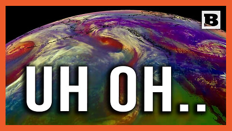
2 months agoUh Oh... Satellite Imagery Shows 3 Cyclones Heading Towards Western U.S.BreitbartVerified
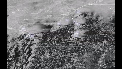
4 days agoIncredible satellite imagery showing an army of tornadic supercells moving across western New YorkGreatwhitelion21
12 days agoPentagon Pressed On Satellite Imagery Showing Four 'Likely' Chinese Listening Posts In CubaForbes Breaking News
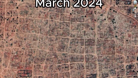
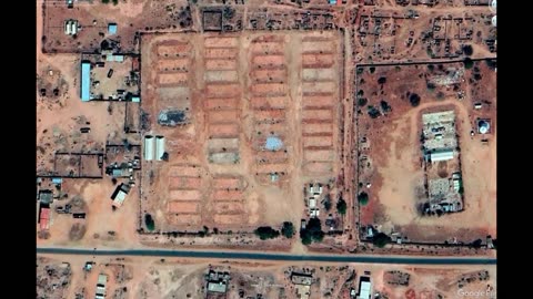
2 months agoSudan Civil War | Before & After - New Satellite Imagery Reveals Level Destruction Of DarfurGlobalDispatch
2 months agoSatellite Imagery Exposes Potential Russian Nuclear Storage Site in BelarusFrom the Desk of Gav
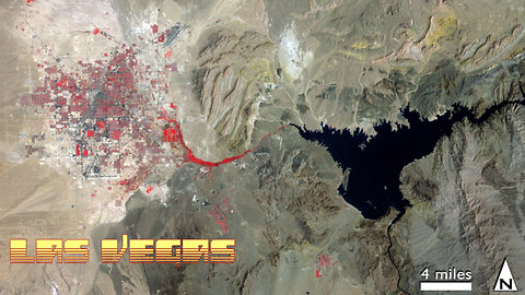
9 months agoLas Vegas & Lake Mead 1972-2021 Satellite Timelapse NASA Imagery #lasvegas #lakemead #water #droughtMOJO ADVENTURES
1 month agoZOG using satellite imagery to pinpoint target family farms in Oregon and shut them downStantonLives
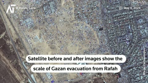
1 month agoIsraeli Military Operations Revealed in Before & After Satellite Images | Amaravati TodayAmaravatitoday
1 month agoChina Dares India; Puts J-20 Stealth Fighters Near Sikkim Border | Big Reveal In Satellite Imagesworld breaking news channel
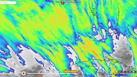
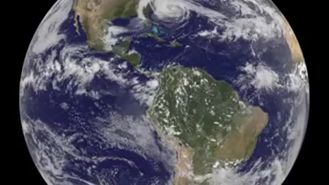
10 months ago"Sandy's Progression to Landfall Captured by Satellite in a Panoramic Global View."muhamadimran
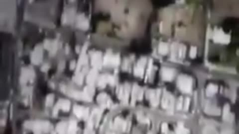
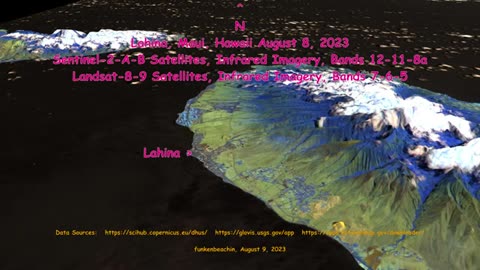
10 months agoSATELLITE IMAGERY REVEALS HOW THE FIRES WERE STARTED AND WHERE IN MAUI - VERY TELLINGPatriot Vibes 1Q7
11 months agoEyes in the Sky: Satellite Captures the Birth of a U.S. Nor'easterGalactic Gateways: Cosmic Quests