Seeing Satellite Benefits on the Ground with the National Park Service
1 year ago
31
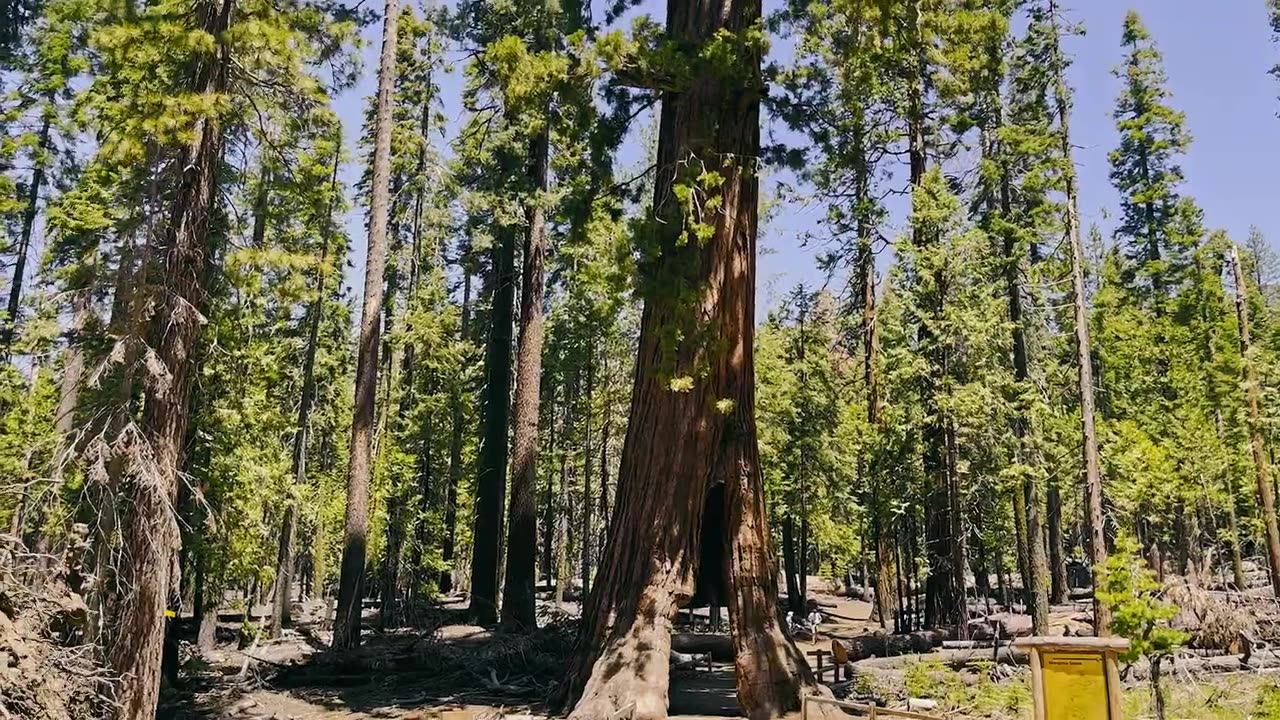
From the hoodoos in Bryce Canyon to the caves of Carlsbad Caverns and the giant sequoias of Yosemite, did you know researchers use NASA satellite data in National Parks?
Our view from space can help monitor water resources, assess air quality, analyze fire patterns, track vegetation changes, and more. It all helps the National Park Service make informed decisions for protecting and restoring America’s most beautiful natural spaces.
This video can be freely shared and downloaded. While the video in its entirety can be shared without permission, the music and some individual imagery may have been obtained through permission and may not be excised or remixed in other products.
Loading comments...
-
 LIVE
LIVE
Right Side Broadcasting Network
2 hours agoLIVE: White House Press Secretary Karoline Leavitt Holds a Press Briefing - 8/28/25
1,586 watching -
 DVR
DVR
Nikko Ortiz
43 minutes agoLive - Reaction Time, News, Politics, and More!
-
 1:02:26
VINCE
2 hours agoTragedy In Minneapolis | Episode 113 - 08/28/25
65.3K108 -
 LIVE
LIVE
Reidboyy
37 minutes agoHow To Make $$$ in Delta Force Console Operations!
53 watching -
 LIVE
LIVE
JuicyJohns
3 hours ago $0.26 earned🟢#1 REBIRTH PLAYER 10.2+ KD🟢
46 watching -
 LIVE
LIVE
Major League Fishing
6 days agoLIVE! - Fishing Clash Team Series: Challenge Cup - Day 5
136 watching -
 LIVE
LIVE
LFA TV
4 hours agoLFA TV ALL DAY STREAM - THURSDAY 8/28/25
5,024 watching -
 LIVE
LIVE
Total Horse Channel
14 hours ago2025 URCHA Futurity | Derby & Horse Show | Thursday
106 watching -
 LIVE
LIVE
The Big Mig™
1 hour agoThe War Powers Resolution w/ David Clements
5,118 watching -
 LIVE
LIVE
Badlands Media
7 hours agoBadlands Daily: August 28, 2025
4,212 watching