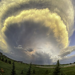
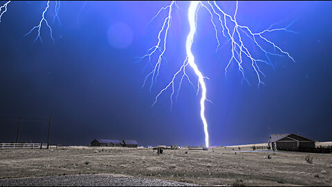
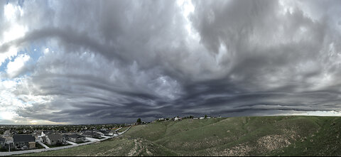
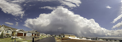
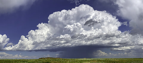
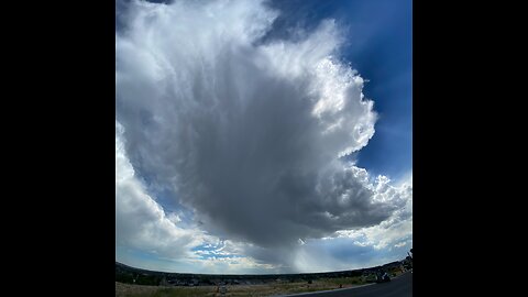
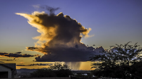
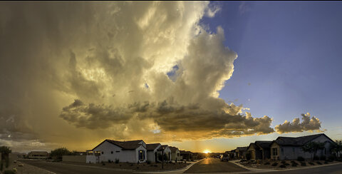
Weather Event - Last Day of Summer 2023
On 21 Sep, thunderstorms began the day and ended the day over Cheyenne, Wyoming. From morning rainbow to late day rainbow, thunderstorms slow development provided ample opportunity to capture nature's beauty and force at its finest.
When sky cleared, I was treated to a fly-over of Starlink satellites and at the same time continuous lightning over western Nebraska. The summer of 2023 will long be remembered as wet, stormy, and full of surprises!
43
views
A week of severe thunderstorms
While high pressure has cut off the Southwest Monsoon, the northern boundary of this high has helped to produce daily severe weather during the last of July and early August 2023. Taken from Cheyenne, Wyoming.
In this clip, I highlighted several weather phenomena including, roll cloud, shelf cloud, lightning hitting tree (1150 feet away), ball lightning or transformer exploding? and rapid convective rain curtains in time lapse, fire sky sunset, etc.
Worth viewing in its entirety.
38
views
Weather event (4 Aug 23)
Another day, another round of severe thunderstorms. This event developed quickly as noted by the GOES imagery. What started as a beautiful day turned dark as a storm moved through Cheyenne, Wyoming at 60 mph. After departing, the anvil produced a large display of mammatus clouds. Additionally, a secondary thunderstorm formed under the anvil and developed the classic thunderstorm look with a large flat anvil. Finally, the sunset was a fire sky worthy of a great photo op day.
I was on the edge of all the activity and received only 0.02 inch of rain. Thunder was continuous for over 30 minutes but I witnessed no cloud to ground lightning.
29
views
Ring of Fire (Extreme dome of High Pressure)
During the month of July 2023, a very strong ridge of high pressure aloft over the Southwest US has contributed to record heat and has delayed the annual summer monsoon. However, a weather phenomena known as the Ring of Fire (not to be confused with the earthquake and volcanos that ring the edge of the crustal plates along the oceanic perimeters), occurs on its periphery of these high pressure domes. This region develops isolated to scattered thunderstorms when the atmosphere doesn’t usual favor development.
In the time lapse clip, the formation of lenticular (ufo sharped clouds) and the development of contrails signal very strong winds and very cold temperatures at high altitude. When the towering cumulus interact with these conditions, instability is triggered and thus storms form quickly.
Although this isn’t one of my more spectacular weather events I’ve captured, it is still interesting and important to understand.
Living Voyage by Kevin MacLeod is licensed under a Creative Commons Attribution 4.0 license. https://creativecommons.org/licenses/by/4.0/
Source: http://incompetech.com/music/royalty-free/index.html?isrc=USUAN1100594
Artist: http://incompetech.com/
19
views
Roll Cloud Severe Thunderstorm
Using various cameras and vantages, I captured the approach and movement through my neighborhood of a severe thunderstorm that hit at 1:51PM of 4 July 2023. Because the storm was moving over 45 mph, heavy rains and winds gusting over 45 mph didn't last long. However, a beautiful roll cloud formed just ahead of the storm and was quite photogenic.
The satellite time-lapse at the beginning of this clip shows the specific storm over southeast Wyoming. More storms followed later in the day but that's another story.
7
views
June 27, 2023
Isolate thunderstorm over the High plains of Wyoming often ignite supercell structure capable of producing tornadoes and large hail. Fortunately, this storm got only to within 15 miles of my home. This was near enough to show a fully developed anvil and towering convection (including a wall cloud, fire sunset, and twilight lightning from over 100 miles away.
This storm was worthy of a 60 foot climb on a hill adjacent to my backyard. This hike provided me with a 360 clear horizon.
After a year's absence from Cheyenne, Wyoming, I'm back and well prepared to capture these wonders of nature.
24
views
Pre-Monsoon Weather (mid-May 2023)
On 16 May 23, the first measurable rain was recorded at my home in Oracle, Arizona since 23 March! These clips captured various aspects of thunderstorm development over a two day period. Included are examples of towering cloud build-ups, mammatus clouds under spreading anvils, virga (rain not reaching the ground), a weak dust devil, storms taken from a drone, crepuscular rays, and sunset over the surrounding mountains. All were taken in time lapse.
I hope you enjoy this collection taken with an iPhone, GoPro, and Eufy security camera. Next month, I will resume taking many of my sky images from southeast Wyoming so stay tuned by subscribing.
35
views
Late February 2023 Snowfall near Tucson, Arizona
This slow motion (240 fps) was taken with an iPhone 11 Pro Max during the height of this unexpected snowfall event on 26 Feb. Located at 3,560 feet elevation, this area gets one or two of these storms a winter. All the snow was gone 6 hours later.
17
views
Cloudscape: 7-8 Dec 22
Clip includes altocumulus outbreak, opposition of Mars and full moon, and night time lapse, all with GoPro and iPhone.
11
views
Last thunderstorm of 2022?
Taken 10 Oct 2022 from near Oracle, Arizona with GoPro 10. With cooler temperatures, convective activity must eventually end. Although there is forecast rains in a few days, I believe strong storm development is highly unlikely.
Today's activity was the garden popcorn variety. Very photogenic but little in the way of threatening.
20
views
Storms on 5 Oct 22
Despite the end of the monsoon season over southeast Arizona, impressive storms persist.
6
views
Lightning Storms (3-4 Oct 22)
The monsoon ended 30 Sep but don't tell the calendar. A weather front moved through Arizona late on 3 Oct and stayed active until sunrise the next day. Captured with GoPro 10 and Fujifilm X-T3.
13
views
2
comments
Cloudscape: Last week in September 2022
Time lapse during the end of the Southwest Monsoon season.
15
views
2
comments
Monsoon 2022 Season Finally Ends
The monsoon season runs from 15 June to 15 Sep over the desert southwest (US). This year started slow but between mid-July and mid-August storm activity may have equaled or surpassed last year (the 4th wettest monsoon on record).
This clip (7-12 Sep) shows what the skies looked like while under the influence of Hurricane Kay off the west coast of Baja, Mexico. My area (southeast Arizona) received a fair amount of rain although the storm was no closer than 500 miles away.
7
views
2
comments
Cloudscape: 25 Aug to 3 Sep 2022
As the Southwest Monsoon season winds down, the clouds still put on a pretty cool show. From building clouds to night storms to colorful sunsets and sunrises, there's always a reason to look up.
Danse Morialta by Kevin MacLeod is licensed under a Creative Commons Attribution 4.0 license. https://creativecommons.org/licenses/...
Source: http://incompetech.com/music/royalty-...
Artist: http://incompetech.com/
9
views
2nd week in Arizona
A slow start to the Southwest Monsoon but managed some nice moments during sunrise / sunsets, rainbow, night lightning, etc.
Music:
Virtues Inherited, Vices Passed On by Chris Zabriskie is licensed under a Creative Commons Attribution 4.0 license. https://creativecommons.org/licenses/by/4.0/
Source: http://chriszabriskie.com/reappear/
Artist: http://chriszabriskie.com/
5
views
1
comment
My first week in Arizona
My recent move to the Tucson area was just in time to document the start of the 2022 Southwest Monsoon.
Although 4 July is the average starting time for the onset of the rainy season, only a few brief surges of moisture have occurred thus far.
Here is a sample of some time lapses captured with a GoPro 10.
17
views
1
comment
Welcome to Arizona Monsoon 22'
This is a collection of clips that document the early SW Monsoon near Tucson, Arizona. Besides fire sky sunsets, crepuscular rays, mammatus clouds, rainbows, and towering thunderheads were captured between 21-23 June 2022.
4
views
A Farewell Cloudscape
June 14, 2022 was a pretty cloud day in Cheyenne, Wyoming. From low to high level clouds, the day was dominated by interesting structure and color.
7
views
1
comment
Near Hit Severe Thunderstorm of 12 Jun 22
This storm passed overhead just a few minutes earlier and was nothing but disorganized clouds with some virga falling. 15 minutes later, weather satellite revealed explosive convection with +1 inch hail and over 800 in-cloud lightning discharges (within a five minute period) just 20 miles to my east near Burns, Wyoming. Temperatures were in the low 90's with dew points in the mid 30's.
The anvil expanded overhead a few minutes after this image and the storm was no longer visible.
Faceoff by Kevin MacLeod is licensed under a Creative Commons Attribution 4.0 license. https://creativecommons.org/licenses/...
Source: http://incompetech.com/music/royalty-...
Artist: http://incompetech.com/
5
views
Weather Events: 7 June 2022
The day started with upslope that created zero visibility in dense fog. This low level moisture gave way to afternoon thunderstorms. By dark, a moon halo formed.
Achilles - Strings by Kevin MacLeod is licensed under a Creative Commons Attribution 4.0 license. https://creativecommons.org/licenses/by/4.0/
Source: http://incompetech.com/music/royalty-free/index.html?isrc=USUAN1100463
Artist: http://incompetech.com/
8
views
1
comment
Storm 4 Jun 22
A very active weather day with several popcorn (short lived thunderstorms). This time lapse clip highlights sky clouds throughout the day using my GoPro 10, iPhone and Fujifilm X-T3. The last storm of the day was very photogenic and was only 5 miles away at its closest approach unlike many of the others I captured.
Divider by Chris Zabriskie is licensed under a Creative Commons Attribution 4.0 license. https://creativecommons.org/licenses/by/4.0/
Source: http://chriszabriskie.com/divider/
Artist: http://chriszabriskie.com/
14
views
Development: 3 June 2022
Lots of instability but storms lacked sufficient moisture to be beneficial. Some rumbles of thunder but all lightning was in-cloud. Recent weather pattern is suggesting developing drought.
11
views