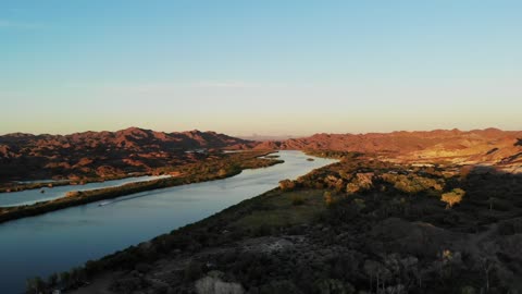
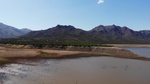
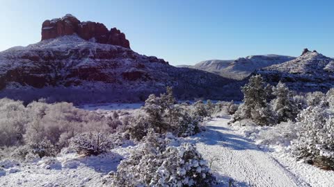
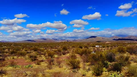
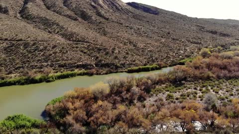
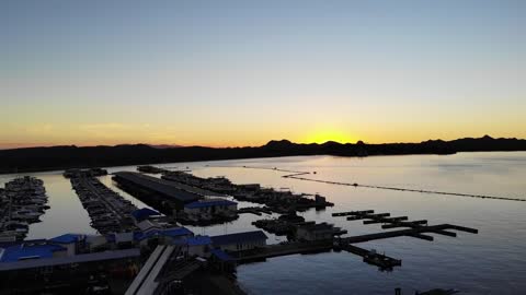
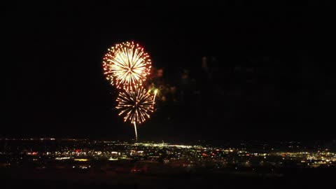
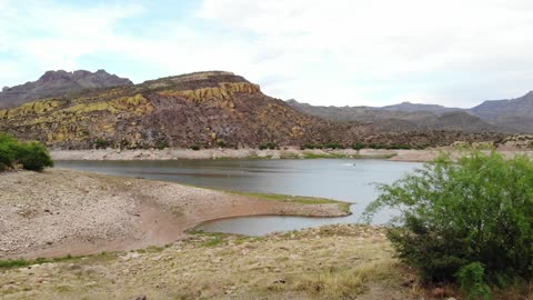
Aerial Views Over The Colorado River Near Picacho Reacreation Area
Aerial views from the drone over Picacho State Recreation Area. It is a camping, boating, and general recreation area located on a 9-mile stretch of the Lower Colorado River at the site of Picacho, a defunct gold mining town.
This remote park is located in the far southeastern corner of California and includes 54 campsites, 3 boat launches, and 5 river camps. Favorite activities at the park include stargazing, and bird and wildlife viewing (including the famous desert resident, the Bighorn sheep).
The mining town of Picacho sat on this spot in the early 1900s. The remains of a stamp mill that was used to crush the gold ore during mining operations is a popular hiking destination.
This section of the Colorado River is a popular stopover for migratory waterfowl - ducks, geese, ibis, and cormorants - usually seen by the thousands in spring and fall. Other waterfowl are found here year-round.
Location-Directions
Take the 24-mile (mostly unpaved) road north from Winterhaven near the Mexican border. The road to Picacho from Winterhaven is paved only for the first 6 of 24 miles. The last 18 miles is over a dirt road that is passable for cars and vehicles with trailers and motorhomes. At times during the summer, thunderstorms are likely to cause flash flooding in the washes, temporarily making short sections of the road impassable.
13
views
Flight Over Horseshoe Reservoir
Aerial view of Horseshoe Lake. Taken on the 22nd of April, 2021 during the draining of the lake into Bartlett Lake.
Horseshoe Lake is a reservoir that was formed by the Horseshoe Dam on the Verde River in the U.S. state of Arizona. The lake and dam are located inside the Tonto National Forest and are located upstream and north of Bartlett Lake. The dam is managed by the Salt River Project.
Horseshoe Reservoir is the first of the Salt River Project lakes to be very low when irrigation and domestic water requirements dictate. It can be virtually dry for long periods of time. The entire lake is closed to water skiing, parasailing, and the use of personal watercraft (jet-skis, etc). Speed limit 20 mph. No on-lake events are allowed.
5
views
February Views of the Red Rocks of Sedona, Arizona
Aerial footage of the Red Rocks of Sedona. Cathedral Rock and the surrounding area after a mid-February snowstorm in 2021.
4
views
Ashton's Grad Part at Bartlett Lake Arizona
Memorial Day Weekend 2021 at SB Cove on Bartlett Lake, Arizona.
3
views
Aerial Views of the Picket Post Mountain Area Near Superior, Arizona in Pinal County.
Aerial footage of the area around Picket Post Mountain near Superior, Arizona. Legends of Superior Trails and Queen Creek allow a variety of hiking opportunities. There are numerous 4x4 trails in the area as well as wagon wheel tracks left from the Mormon's migration west.
1
view
Aerial Video Over the Verde River Below Bartlett Dam
A view from the air over the Riverside Campgrounds on the Verde River below the Bartlett Lake Dam. Located in the Tonto National Forest, Maricopa County, Arizona.
Flying over the Lake Peasant Marina
A tour over the Lake Pleasant Marina on beautiful Lake Pleasant. Located in Maricopa County Arizona just minutes from Phoenix.
1
view
Peoria Sports Complex Fireworks 2021
Aerial view of the Peoria Sports Complex Fireworks Display 2021
2
views
Aerial Arizona Over SB Cove at Bartlett Lake
A look over SB Cove at Bartlett lake in Maricopa County, Arizona. The water level is approximately 50% during the filming of the video.
Arial Arizona Over Desolated Desert North of Wikenburg
Aerial video footage of the desolate desert area north of Wickenburg, Arizona. I was helping a lady look for a horse in the desert north of Wickenburg. There are dozen of side roads and trails for a horse to go so I brought out the quadcopter. Most of the trails are extremely rough and require 4x4, crossing washes, and the Hassayampa dry river bed. The perfect place for a horse to wander off.
77
views
Aerial Arizona Tours Gillespie Damn and the Old Highway 80 Bridge
Aerial views of the dilapidated Gillespie Dam. Located along the Gila River in Maricopa County, Arizona.
41
views
Aerial Arizona looks at Bartlett Lake
Aerial views of Bartlett Lake. Located in Maricopa County, Arizona. These videos were shot when the lake level was approximately 50%.
29
views