Gino Recchia NBC26 Weather Forecast
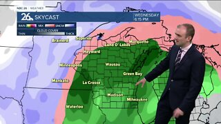
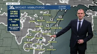
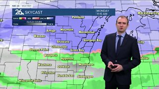
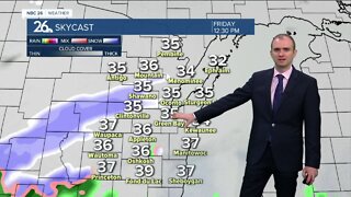
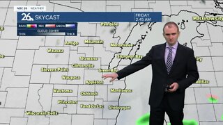
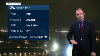
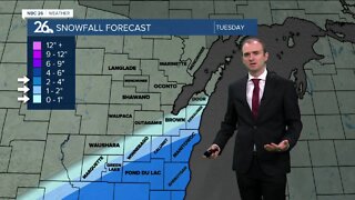
An area of low pressure will bring snow to the area tonight as temperatures fall into the lower and mid 30s. Since temperatures will remain near or above freezing, this will be a wet and heavy snow that will initially have a hard time to accumulate on the onset, but it will become more favorable overnight. The morning commute will be impacted with some slushy accumulation on the roadways. Totals will range from an inch to 3 inches. Highest totals will be on grass and elevated surfaces. The snow ends by the morning Monday with a dry rest of the day. Tuesday will bring another day of calm before our next weather maker moves in on Wednesday. It looks like a band of rainfall will sweep through late Tuesday night into Wednesday morning followed by some light rain showers during the day. The area of low pressure will stall out over Wisconsin, bringing a continued chance of rain and snow showers Thursday and Friday before departing the area later Friday night. Sunny weather returns next weekend with highs rising into the mid and upper 40s on Saturday followed by mid 50s on Sunday.
-
 0:30
0:30
WGBA
7 months agoThree Degree Guarantee
61 -
 3:33
3:33
WGBA
2 years agoGino Recchia NBC26 Weather Forecast
7 -
 3:34
3:34
WGBA
2 years agoGino Recchia NBC26 Weather Forecast
2 -
 3:36
3:36
WGBA
2 years agoGino Recchia NBC26 Weather Forecast
4 -
 3:42
3:42
WGBA
2 years agoGino Recchia NBC26 Weather Forecast
3 -
 4:19
4:19
WGBA
2 years agoGino Recchia NBC26 Weather Forecast
5 -
 3:42
3:42
WGBA
2 years agoGino Recchia NBC26 Weather Forecast
14 -
 3:40
3:40
WGBA
2 years agoGino Recchia NBC26 Weather Forecast
7 -
 3:24
3:24
WGBA
2 years agoGino Recchia NBC26 Weather Forecast
1 -
 4:00
4:00
WGBA
2 years agoGino Recchia NBC26 Weather Forecast
8