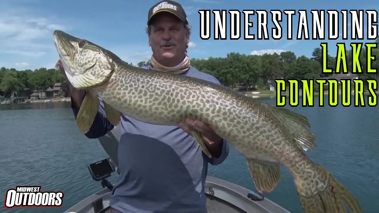
Reading Lake Contours and Maps
Mark Strand is out on a Minneapolis Metro Lake demonstrating how to read and interpret lake contours and maps to help focus on productive water. Depending on how close the contours are together, determines how quickly the drop-off is. The closer the contours are, the faster the drop, more spread out contours means it is a gradual drop in depth. If you have really wide separated contours, that could indicate a flat. Flats are excellent target areas, as fish move around the flats in search of prey. Learning to understand and read lake maps and contours is critical if you want to be the most effective when out on the water.
~~~~~~~~
ABOUT US
Selected as the “Best Fishing and Hunting Show” by viewers all across the U.S., MidWest Outdoors TV focuses on helping you enjoy the outdoors. Our extensive library of freshwater fishing and hunting tips helps you learn where to go, what to use, and how to use it. Our award-winning TV show has been broadcasted weekly since 1986, and can be found on more than two dozen TV stations, including nationwide on Pursuit Channel. If you love the outdoors as much as we do then you are in the right place! #MidWestOutdoors #iLiveMWO
SUBSCRIBE to stay up to date on our newest videos ➜ https://tinyurl.com/rlhomtz
- For MWO TV listings in your area visit ➜ https://tinyurl.com/umnqcsh
- Listen to our MWO Podcast ➜ https://tinyurl.com/vyf2e5q
- Subscribe to our MWO Magazine ➜ https://tinyurl.com/r5vm333
- Become a Free MWO Insider ➜ https://tinyurl.com/ukvxycx
- Shop MWO Gear ➜ https://tinyurl.com/yxy7a8dm
FOLLOW US HERE AS WELL:
- Website ➜ https://midwestoutdoors.com/
- Instagram ➜ https://www.instagram.com/MidWestOutdoorsUSA/
- Facebook ➜ https://www.facebook.com/MidWestOutdoorsUSA/
- Twitter ➜ https://twitter.com/MWOutdoorsUSA
-
 24:09
24:09
Squaring The Circle, A Randall Carlson Podcast
1 hour ago#033 At The Crossroads - Squaring the Circle: A Randall Carlson Podcast
6851 -
 50:17
50:17
BIG NEM
4 days agoBrian Herzog: From Zero to 150 MILLION Views in a Year 🚀
798 -
 2:48:35
FreshandFit
14 hours agoHenny Chris VIOLATES 5 Girls 🤣
175K137 -
 6:33:57
AdmiralSmoothrod
16 hours agoescape from tarkov - the best and brightest - party games later?
131K12 -
 59:15
59:15
RealitySurvival
17 hours agoMore in coming Chaos? War With China? Trumo Tower Bombing & Bourbon Street Massacre
844 -
![VOYAGER - Brightstar [Official Music Video]](https://1a-1791.com/video/fw/s8/1/X/N/Y/l/XNYlv.0kob-small-VOYAGER-Brightstar-Official.jpg) 4:34
4:34
SeasonofMist
1 month agoVOYAGER - Brightstar [Official Music Video]
4881 -
 10:00
10:00
Ethical Preparedness
3 hours ago $0.88 earnedWhat Everybody is Missing About the Recent Terror Attacks in the USA
1.17K8 -
 24:21
24:21
CutJibNewsletter
1 day agoHappy New Year, Same Old Terrorism Episode
5481 -
 5:26:29
Barbarian Mowz
18 hours agoBarbaric Stream!! - Knights of the Old Republic!
108K5 -
 2:51:51
PandaSub2000
18 hours agoLego Star Wars: Skywalker Saga | ULTRA BEST AT GAMES (Original Live Version)
79.5K3