LIVE SEVERE WEATHER COVERAGE FOR NORTH TX AND DFW METRO
IMMEDIATE BROADCAST REQUESTED
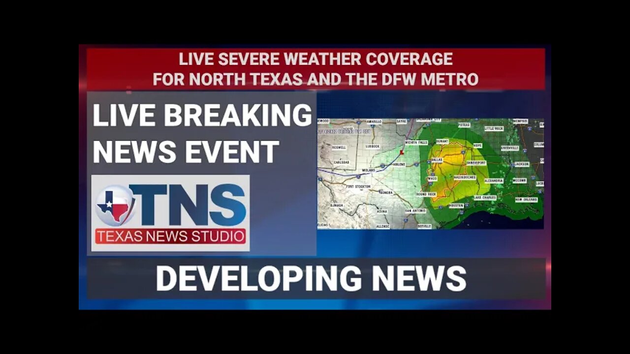
Severe Thunderstorm Watch Number 45
NWS Storm Prediction Center Norman OK
340 PM CDT Mon Mar 14 2022
The NWS Storm Prediction Center has issued a
* Severe Thunderstorm Watch for portions of
Central and East Texas
* Effective this Monday afternoon and evening from 340 PM until
1000 PM CDT.
* Primary threats include...
Scattered damaging winds and isolated significant gusts to 75
mph possible
Scattered large hail and isolated very large hail events to 2.5
inches in diameter possible
A tornado or two possible
SUMMARY...Thunderstorms are expected to develop along and ahead of a
cold front as it moves eastward across central Texas into east
Texas. Enough instability and vertical shear are in place to support
severe thunderstorms capable of large to very large (i.e. diameter
greater than 2" in diameter) hail and strong wind gusts. An isolated
tornado or two is also possible.
The severe thunderstorm watch area is approximately along and 60
statute miles east and west of a line from 30 miles west southwest
of College Station TX to 10 miles east of Paris TX. For a complete
depiction of the watch see the associated watch outline update
(WOUS64 KWNS WOU5).
Find us here :
https://dlive.tv/TexasWeatherStudio
YOU CAN SUPPORT TWS THROUGH PAYPAL ON THE MAIN TWS PAGE OR BELOW
YOUR DONATIONS KEEP TWS ON THE AIR
https://www.paypal.com/donate/?cmd=_s-xclick&hosted_button_id=FZLXKA8MHAH9G
Tropical Tidbits - https://www.tropicaltidbits.com
Pivotal Weather - https://home.pivotalweather.com
WeatherBELL Analytics - https://www.weatherbell.com
**ALWAYS BE SURE TO SEEK OFFICIAL GUIDENCE FROM THE NWS AND OR THE NHC IN THE CASE OF A DANGEROUS OR LIFE THREATENING EVENT**
-
 1:54:35
Glenn Greenwald
9 hours agoUN Gaza Investigator Francesca Albanese on US Sanctions Against Her; Plus: Glenn Takes Your Questions on Trump's Pressure on Brazil, Sam Harris, Bill Ackman, and More | SYSTEM UPDATE #485
57.2K40 -
 58:37
58:37
BonginoReport
13 hours agoElon’s Petty Move Threatens GOP’s Bright Future - Nightly Scroll w/ Hayley Caronia (Ep.88)
69.4K73 -
 24:53
24:53
Preston Stewart
8 hours ago $0.14 earnedTrump Arms Ukraine
49.9K15 -
 1:00:00
BEK TV
1 day agoDRONES IN AMERICA: DJI'S MARKET DOMINANCE, FUTURE USES, AND A REAL LOOK AT THE MEASLES OUTBREAK
2.65K1 -
 8:22:22
Dr Disrespect
12 hours ago🔴LIVE - DR DISRESPECT - INSANE WARZONE CHALLENGES! DOMINATING 2025 HYPE
170K8 -
 12:55:42
LFA TV
1 day agoLFA TV ALL DAY STREAM - FRIDAY 7/11/25
243K42 -
 1:13:26
Kim Iversen
8 hours agoDershowitz Says He Knows FOR A FACT The Names On The Epstein List
69K117 -
 4:18:09
Nerdrotic
8 hours ago $1.46 earnedSuperman's James Gunn DROPS! Comic Book Movies Saved? WOKE Black Superman | Friday Night Tights 362
103K20 -
 42:44
42:44
American Minute with Bill Federer
6 hours ago $0.50 earnedHistory You Need to Know with Dr. Bill Federer
53.7K5 -
 32:52
32:52
Clownfish TV
8 hours agoI Watched SUPERMAN So You Don't Have To...
29.8K14