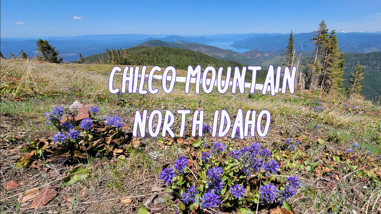
Hiking Chilco Peak, North Idaho
Chilco Peak is one of the highest peaks in the immediate vicinity of Coeur d'Alene, Idaho. With wondrous 360 degree views to the various lakes and mountains of North Idaho, Western Montana, and Eastern Washington.
From the trailhead sign on Road 209 (elevation 4330'), Trail 14 climbs the ridge heading SW on the scant remains of an old logging road. Soon on a single path, the trail ascends moderately on well-graded switchbacks. As the trail climbs, you can see the change in forest types as elevation increases. Hemlock, Grand Fir, and Larch gradually give way to Lodgepole and Subalpine Fir.
One mile and six switchbacks later, the trail climbs more gently through thinning timber with bear grass in the undergrowth. Soon, you gain a view of North Chilco Peak to the SE. The trail continues climbing gently for another 1/4 mile then comes to a signed junction with a less used trail that leads to the summit. This trail climbs the broad rocky north face of the mountain to its summit marked by the remnants of an old lookout tower. The elevation here is 5685' and there are outstanding views in all directions.
At this point, you can descend back to the trailhead or continue to the summit of South Chilco. Trail 14 continues along the west face of the mountain on a moderately descending grade, crossing loose talus. After passing through a grove of quaking aspen, the trail descends through thickening mixed timber stands on a moderate to steep slope. After 1-1/4 miles, the trail emerges in the saddle between the two peaks. After climbing on a moderate to gentle grade for 1.7 miles, the trail meets the junction of trail #15 just below South Chilco Mountain (5634'). Follow this to the summit for further views south to Lake Coeur d'Alene and beyond.
At one time, this former fire lookout site was designated as the highest point in the Chilco Mountains Subrange of the Coeur d’Alene Mountains. New measurements give that honor to South Chilco Mountain.
The peak’s use as a fire lookout started in 1931 when a camp was set up on the summit. In 1939, a tower was built. Sometime before 1959, the tower came down. Today you will find sparse debris from the lookout on the summit. USGS Bayview
-
 42:15
42:15
Anything Outdoors with Steve
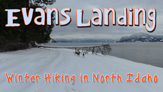
3 years agoEvans Landing - Winter Hiking in North Idaho
383 -
 3:19
3:19
Anything Outdoors with Steve
3 years agoSurreal North Idaho - Winter Hiking Evans Landing
176 -
 0:59
0:59
burgessj99
3 years agoMount Diablo North Peak Hiking Down
32 -
 2:10
2:10
GarySchultzeRealEstate
3 years ago $0.11 earnedNorth Idaho, Coeur d'Alene Idaho living
203 -
 30:32
30:32
Anything Outdoors with Steve
3 years agoRoman Nose Lakes - North Idaho
33 -
 7:41
7:41
Travis Andersen
3 years agoHunting in North Idaho 2020
23 -
 0:17
0:17
EVOLYOUTDOORS
4 years ago $0.01 earnedHiking in Beautiful North Carolina
36 -
 40:22
40:22
Anything Outdoors with Steve
3 years agoDecember Hike to Revett Lake, North Idaho
6 -
 0:03
0:03
burgessj99
3 years agoNorth Peak Mount Diablo
38 -
 1:50
1:50
GarySchultzeRealEstate
4 years ago $0.05 earnedNorth Idaho Living
331