Clinch Estate, Green Cove Springs, Florida, Boundary, Topographical, and Tree Location Survey 1
Loading comments...
-
 4:50
4:50
FloridaProfessionalLandSurveyor
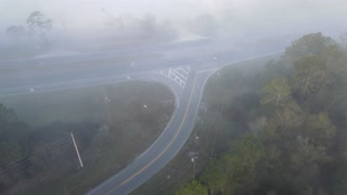
2 years agoClinch Estate, Green Cove Springs, Florida, Boundary, Topographical, and Tree Location Survey 2
28 -
 4:50
4:50
FloridaProfessionalLandSurveyor
2 years agoClinch Estates Green Cove Springs drone footage of land survey (early morning)
49 -
 0:37
0:37
North Central Florida Hiking Trails
2 years agoHiking Bayard Conservation Area near Green Cove Springs, Florida
3531 -
 2:56
2:56
Yellow Rose Drone Videos
3 years agoSurfside Beach Recreational Area - Texas Gulf Coast near Freeport
34 -
 1:05
1:05
SvetlanaAna
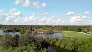
3 years agoBeautiful Florida wetland
68 -
 0:27
0:27
HikingViking
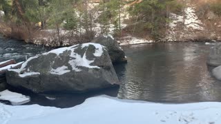
2 years agoGreat Little Calm Boulder Cove – Whychus Creek – Central Oregon
4 -
 0:26
0:26
HikingViking
2 years agoOverlooking Tranquil Cove and Rapids of Whychus Creek – Central Oregon
8 -
 13:58
13:58
Jason Wish
6 years agoCaesar Creek Sate Park Perimeter Loop
-
 0:10
0:10
usahilpk
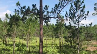
4 years agoNature Landscape Beautiful Green baby Tree
1393 -
 4:22
4:22
530BIGFOOT
3 years ago2020 06-27 S Trinity County, CA Inverted Tree
55