How To Add an Aerial Photograph as a Texture Map in 3D on Archicad - CBA AC 018
3 years ago
34
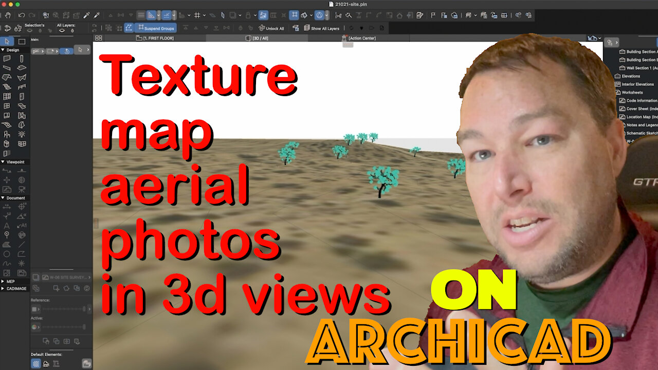
Add increased realism to your 3d site models in Archicad by using aerial photography as a texture map on your 3d mesh. Learn the basics in this tutorial.
Music by http://www.bensound.com
Loading comments...
-
 1:05:43
TheCrucible
2 hours agoThe Extravaganza! EP: 65 (11/25/25)
74.4K5 -
 DVR
DVR
Kim Iversen
2 hours agoThe Macrons Tried To KILL Candace Owens?
15.7K24 -
 1:15:59
vivafrei
4 hours agoKash interview - 27 Minutes of No Answers! Another Soft-on-Crime Catastrophe! Pedo Coach? & MORE
161K69 -
 1:21:29
Winston Marshall
3 hours agoThe Dangerous Fracturing on the American Right Over Israel
17.6K87 -
 58:20
58:20
Redacted News
2 hours ago"Agenda 2030: You Will Own NOTHING — Here’s What That Really Means"
45.5K61 -
 24:59
24:59
Stephen Gardner
4 hours agoBREAKING LEAK: Trump Prepping Huge White House Shake-Up!
32.4K52 -
 23:43
23:43
Jasmin Laine
3 hours agoLiberal Minister Demands ‘MAGA Apology’—MELTS DOWN Over ‘Trade War’
13.4K6 -
 LIVE
LIVE
LFA TV
20 hours agoLIVE & BREAKING NEWS! | TUESDAY 11/25/25
858 watching -
 LIVE
LIVE
freecastle
8 hours agoTAKE UP YOUR CROSS- Be devoted to one another in LOVE. Honor one another ABOVE yourselves!
71 watching -
 18:24
18:24
Neil McCoy-Ward
2 hours agoA Warning For European Citizens (THIS IS BAD!)
23.9K9