Emeralda Marsh Conservation Area Drone Footage, KLR 650
3 years ago
38
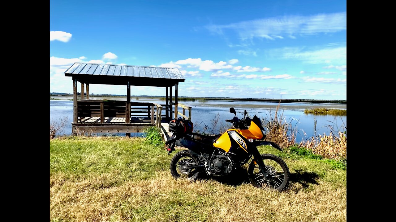
Historically, the Emeralda Marsh extended for more than 10,000 acres on the eastern side of Lake Griffin, near the headwaters of the Ocklawaha River. The District has acquired approximately half of the project area identified by the state’s Conservation and Recreation Lands acquisition program for restoration. In 1974, the area was designated as a National Natural Landmark through a program of the National Park Service.
Loading comments...
-
 35:14
35:14
The Pascal Show
11 hours ago $1.36 earnedHE'S GONNA SUE COLDPLAY?! Astronomer HR Resigns & Ex-CEO Set To Sue Coldplay Over Kiss Cam Drama
4.08K3 -
 LIVE
LIVE
Lofi Girl
2 years agoSynthwave Radio 🌌 - beats to chill/game to
483 watching -
 19:18
19:18
DeVory Darkins
7 hours ago $23.55 earnedDemocrat non-profit SCAM EXPOSED as Trump OBLITERATES Newsom
38.9K75 -
 23:58
23:58
Stephen Gardner
8 hours ago🔥Obama THROWS Adam Schiff under the bus to obstruct Trump!
27.6K114 -
 38:44
38:44
The Why Files
4 days agoProject Ancient Arrow | The NSA's Secret War Against Our Future
63K75 -
 2:36:06
Barry Cunningham
10 hours agoPRESIDENT TRUMP IS TRULY USHERING IN THE GOLDEN AGE OF AMERICA! CAN YOU FEEL IT?
119K44 -
 3:47:25
SynthTrax & DJ Cheezus Livestreams
3 days agoFriday Night Synthwave 80s 90s Electronica and more DJ MIX Livestream 2K Celebration SPECIAL EDITION 530pm PST / 830pm EST
55.7K6 -
 2:21:54
VapinGamers
7 hours ago $3.67 earnedDestiny 2 - Edge of Fate Legendary Run Part 3 - !rumbot !music
32.8K -
 2:04:25
TimcastIRL
9 hours agoTrump DOJ Gives Ghislaine Maxwell Limited IMMUNITY As She Rats On 100+ People | Timcast IRL
241K180 -
 1:09:09
Omar Elattar
11 hours agoThe Brain Experts: Your Brain Can Rewire Itself At Any Age & Here's How!
27.7K4