Gino Recchia NBC26 Weather Forecast
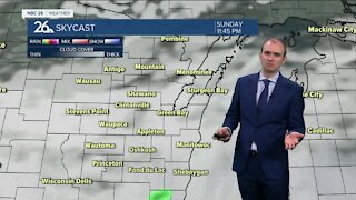
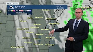
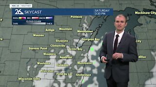
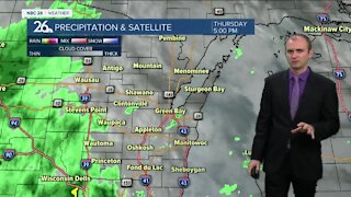
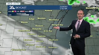
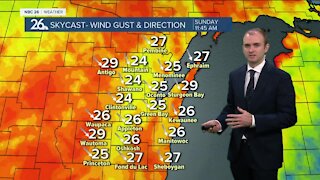
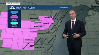
A cold front has swept through earlier this morning, putting an end to the very warm and above average weather we've experienced for most of the fall so far. Temperatures will fall into the upper 20s and lower 30s tonight with west winds around 10-15 mph with gusts up to 20 mph. Winds wills will be down in the upper 20s when we head out the door. The west winds will continue throughout the day Monday with highs in the lower to mid 40s, however will likely feel like the mid to upper 30s at times. It'll be a mix of mostly sunny to partly cloudy skies. The weather pattern will stay consistent for the rest of the work week with lows in the mid to upper 20s and highs in the lower to mid 40s. The pattern remains dry as well with more precipitation anticipated expect for the isolated rain or snow shower that passes into the far Northwoods from the U.P. As we head into the weekend, this strong push of cold air will retreat with warming temperatures on the way. It does appears next weekend and the following week will experience the return of some lower 50s. Our normal high after the first week of November gets down to 45 so above normal highs will be back in the area.
-
 0:30
0:30
WGBA
7 months agoThree Degree Guarantee
61 -
 3:20
3:20
WGBA
2 years agoGino Recchia NBC26 Weather Forecast
11 -
 4:05
4:05
WGBA
2 years agoGino Recchia NBC26 Weather Forecast
1 -
 3:33
3:33
WGBA
2 years agoGino Recchia NBC26 Weather Forecast
2 -
 4:11
4:11
WGBA
2 years agoGino Recchia NBC26 Weather Forecast
3 -
 3:54
3:54
WGBA
2 years agoGino Recchia NBC26 Weather Forecast
61 -
 4:51
4:51
WGBA
2 years agoGino Recchia NBC26 Weather Forecast
2 -
 2:37
2:37
WGBA
2 years agoGino Recchia NBC26 Weather Forecast
-
 3:39
3:39
WGBA
2 years agoGino Recchia NBC26 Weather Forecast
1 -
 3:46
3:46
WGBA
2 years agoGino Recchia NBC26 Weather Forecast
7