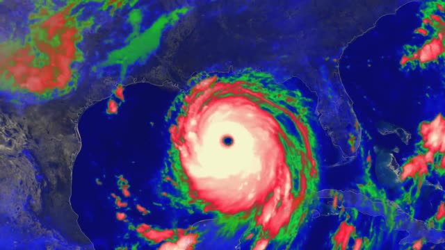
Hurricane Katrina (2005) Colorized IR Loop
3 years ago
126
This loop shows colorized infrared imagery from the GOES-12 satellite as it tracks the storm during late August of 2005.
Hurricane Katrina was a large Category 5 Atlantic hurricane that caused over 1,800 deaths and $125 billion in damage in late August 2005, particularly in the city of New Orleans and the surrounding areas. It was at the time the costliest tropical cyclone on record.
Highest winds 1-minute sustained: 175 mph (280 km/h)
Lowest pressure 902 mbar (hPa); 26.64 inHg
Fatalities 1,836 total
Damage $125 billion (2005 USD)
Loading comments...
-
 0:58
0:58
Earth Wind and Fire
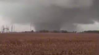
11 days agoStrong Tornado near Lake City, Arkansas April 2, 2025
1801 -
 1:22
1:22
carolinarider
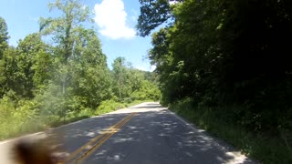
3 years agoHurricane Road
17 -
 1:18
1:18
Xmorrow
3 years agoHurricane Harvey Woodlands
81 -
 5:48
5:48
WFTX
3 years agoPreparing for a hurricane
2 -
 6:36
6:36
BJMG
3 years agoBnT Hurricane Preparedness
11 -
 5:41
5:41
BuzSharpy
3 years ago $0.05 earnedVailly Hurricane Flight
217 -
 4:20
4:20
WGBA
3 years agoHurricane Elsa
18 -
 1:32
1:32
WFTX
3 years agoHurricane Elsa Update: 11pm 7/2
33 -
 20:18
20:18
DeVory Darkins
7 hours ago $1.89 earnedTrump SMACKS DOWN media as Democrats cry for Pete Hegseth to be Fired
3.62K31 -

Badlands Media
22 hours agoThe Narrative Ep. 18: Leaders of the Golden Age
65.4K11