Eastern Nepal | Best Place for travelling😍
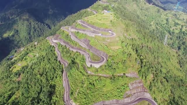
Nepal is divided into three principal physiographic belts known as Himal-Pahad-Terai.[e] Himal is the mountain region containing snow and situated in the Great Himalayan Range; it makes up the northern part of Nepal. It contains the highest elevations in the world including 8,848.86 metres (29,032 ft) height Mount Everest (Sagarmāthā in Nepali) on the border with China. Seven other of the world's "eight-thousanders" are in Nepal or on its border with Tibet: Lhotse, Makalu, Cho Oyu, Kangchenjunga, Dhaulagiri, Annapurna and Manaslu. Pahad is the mountain region that does not generally contain snow. The mountains vary from 800 to 4,000 metres (2,600 to 13,100 ft) in altitude, with progression from subtropical climates below 1,200 metres (3,900 ft) to alpine climates above 3,600 metres (11,800 ft). The Lower Himalayan Range, reaching 1,500 to 3,000 metres (4,900 to 9,800 ft), is the southern limit of this region, with subtropical river valleys and "hills" alternating to the north of this range. Population density is high in valleys but notably less above 2,000 metres (6,600 ft) and very low above 2,500 metres (8,200 ft), where snow occasionally falls in winter. The southern lowland plains or Terai bordering India are part of the northern rim of the Indo-Gangetic Plain
-
 0:09
0:09
Ayushrijal20523
4 years agoHistorical Place of Nepal
3 -
 1:10
1:10
AlexCarmo82
4 years agoBest place ever !!
301 -
 1:15:42
The Connect: With Johnny Mitchell
1 day ago $1.50 earnedHow Did This Happen? Male Escort Who Testified Against Diddy Exposes LIES About Government's Case
7.5K5 -
 21:25
21:25
MYLUNCHBREAK CHANNEL PAGE
6 hours agoIran: The Target
18.4K7 -
 LIVE
LIVE
Midnight In The Mountains
2 hours agoMidnight In The Mountains | Episode 6 | Feat: Joker & VapinGamers | Caught On Camera!
256 watching -
 2:41:18
Barry Cunningham
6 hours agoIT IS UPON US! PRESIDENT TRUMP IS BRINGING A FIERCE STORM TO WASHINGTON, DC!
60.9K85 -
 12:23
12:23
Exploring With Nug
23 hours ago $4.64 earnedSUV Found In Private Pond While Searching For Missing Man!
30K6 -
![[ CHiLi's Cook Out # 13 ] Cooking w/ the Fam is Always Gewd!!](https://1a-1791.com/video/fww1/4c/s8/1/e/U/O/3/eUO3y.0kob-small--CHiLis-Cook-Out-13-Cooking.jpg) LIVE
LIVE
CHiLi XDD
2 hours ago[ CHiLi's Cook Out # 13 ] Cooking w/ the Fam is Always Gewd!!
37 watching -
 53:57
53:57
Tactical Advisor
7 hours agoUnboxing New Guns and Mystery Box | Vault Room Live Stream 033
53.8K7 -
 LIVE
LIVE
King Alexander
1 hour ago"Operation Global Conquest: Live Call of Duty Stream with Alex" vol52
13 watching