Brittney's NBC 26 weather forecast
4 years ago
25
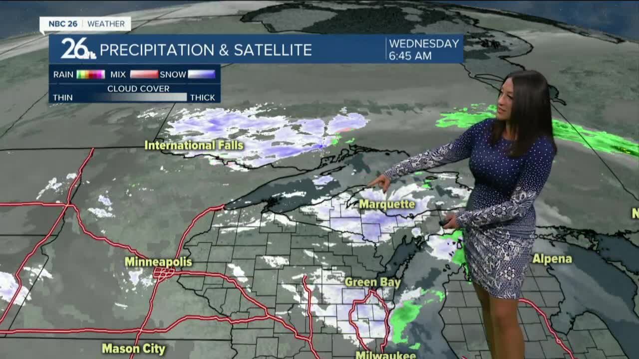
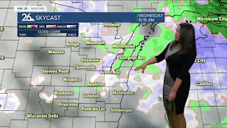
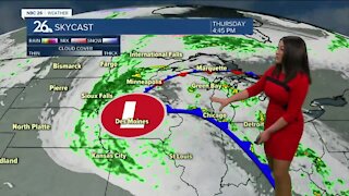
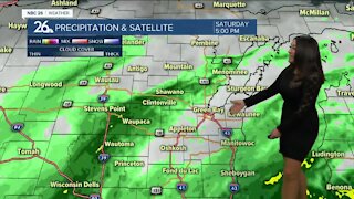
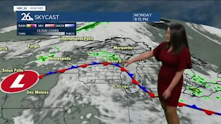
After the warmest start to April in History - cooler weather will prevail for the next two weeks. Tuesday was the chilliest day in nearly two weeks & similar conditions are expected today. A blast of light snow is moving into the area, as temperatures drop down to near freezing. A dusting may accumulate in grassy areas and melt as rain showers fall this afternoon and into the evening. Chances for a wintry mix returns overnight and into Thursday morning, with more flurry chances possible. We will rise into the mid to upper 50s by the end of the work week with a lot more sunshine for the weekend ahead!
Loading comments...
-
 0:30
0:30
WGBA
1 year agoThree Degree Guarantee
309 -
 2:36
2:36
WGBA
4 years agoBrittney's NBC 26 weather forecast
11 -
 2:44
2:44
WGBA
4 years agoBrittney's NBC 26 Weather Forecast
13 -
 3:36
3:36
WGBA
4 years agoBrittney's NBC 26 weather forecast
10 -
 2:53
2:53
WGBA
4 years agoBrittney's NBC 26 Weather Forecast
7 -
 2:33
2:33
WGBA
4 years agoBrittney's NBC 26 Weather Forecast
7 -
 2:52
2:52
WGBA
4 years agoBrittney's NBC 26 Weather Forecast
11 -
 3:24
3:24
WGBA
4 years agoBrittney's NBC 26 Weather Forecast
11 -
 2:55
2:55
WGBA
4 years agoBrittney's NBC 26 Weather Forecast
7 -
 3:06
3:06
WGBA
4 years agoBrittney's NBC 26 Weather Forecast
7