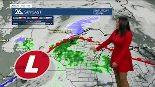
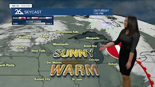
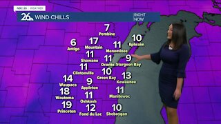
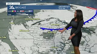
Brittney's NBC 26 Weather Forecast
3 years ago
11
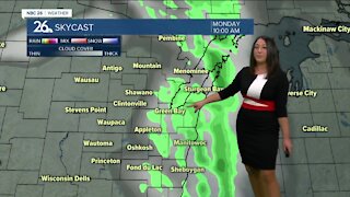
Monday was the warmest day since September with highs in the upper 70s to lower 80s. Green Bay had a record high of 77°. Highs will range from the 50s near Lake Michigan to the lower 80s well inland Tuesday & Wednesday. Chances for strong storms roll in early this morning. Then fade to scattered shower chances and cloudy skies. Some sun peaking through this afternoon will quickly warm us up. More storm chances arrive Tuesday evening. Several additional rounds of precipitation will soak us through the upcoming week, as several areas of low pressure pass through the area. Temperatures will also be cooling off widespread into the 50s by the end of the work week, but still are above average.
Loading comments...
-
 1:45
1:45
WGBA
7 months agoFond du Lac Cardinals start the football season with a new $5.3 million nest
63 -
 2:55
2:55
WGBA
3 years agoBrittney's NBC 26 Weather Forecast
7 -
 3:06
3:06
WGBA
3 years agoBrittney's NBC 26 Weather Forecast
7 -
 3:23
3:23
WGBA
3 years agoBrittney's NBC 26 Weather Forecast
10 -
 3:00
3:00
WGBA
3 years agoBrittney's NBC 26 Weather Forecast
9 -
 2:57
2:57
WGBA
3 years agoBrittney's NBC 26 weather forecast
18 -
 3:16
3:16
WGBA
3 years agoBrittney's NBC 26 weather forecast
3 -
 3:03
3:03
WGBA
3 years agoBrittney's NBC 26 Weather Forecast
4 -
 2:50
2:50
WGBA
3 years agoBrittney's NBC 26 Weather Forecast
7 -
 2:45
2:45
WGBA
3 years agoBrittney's NBC 26 weather forecast
8