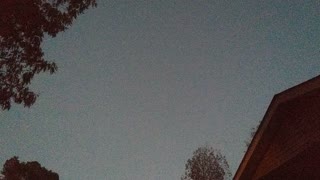
"Ground Station #1 - Stoney Point"
My first dabble into autonomous drone flight. A 5.7 mile flight to Stoney Point & back. The bird was a DJI Phantom 2 Vision+ & the mission was possible because of a modified version of the DJI flight app. Control was limited to waypoint to waypoint, with a defined altitude at each point, & an overall mission speed of 5, 10, or 15 meters per second.
In hindsight the app was a little creepy because, as you can see, it would sometimes hang at a waypoint & make unexplained rotations. It was as though she wasn't sure which way she was supposed to go. Typical woman! (just teasing, ladies!)
The bird was fitted with the now defunct Flytrex Live! 3G. This allowed me to monitor & log location, altitude, & battery level in real time throughout the mission. This little gem allowed me to recover my Vision+ several times.
Recorded October 30, 2014.
-
 0:38
0:38
limbel
3 years agoPlay station 5
57 -
 0:21
0:21
CrashWelch
3 years ago $0.01 earnedPlaying at station 3
58 -
 1:01
1:01
RWilkinsPatriot
3 years agoArriving @ inspection station
142 -
 2:10
2:10
Mattster2020
3 years agoKikyu station area
38 -
 0:58
0:58
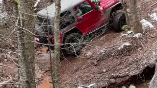
MILSIMIST
3 years agoJeep Stoney Creek Crawl
24 -
 0:20
0:20
Miami3dStation
3 years agoMiami3d radio Station
74 -
 1:30
1:30
307 Gaming
3 years ago $0.02 earnedPolice Station Fight
190 -
 4:04
4:04
Biggbear60
3 years agoB510 Station Wagon
22 -
 3:05
3:05
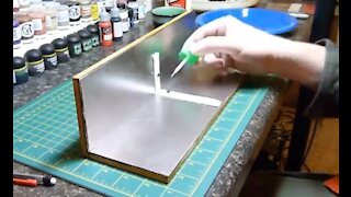
SnarkyArts
3 years agoPlasticard gluing station
155 -
 1:59
1:59
jmstar247
3 years ago $0.02 earnedSpace Station Flyover
164