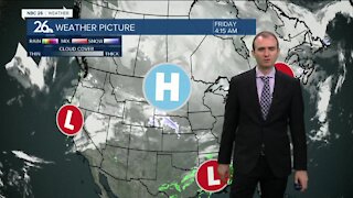
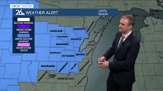
Gino Recchia NBC26 Weather Forecast
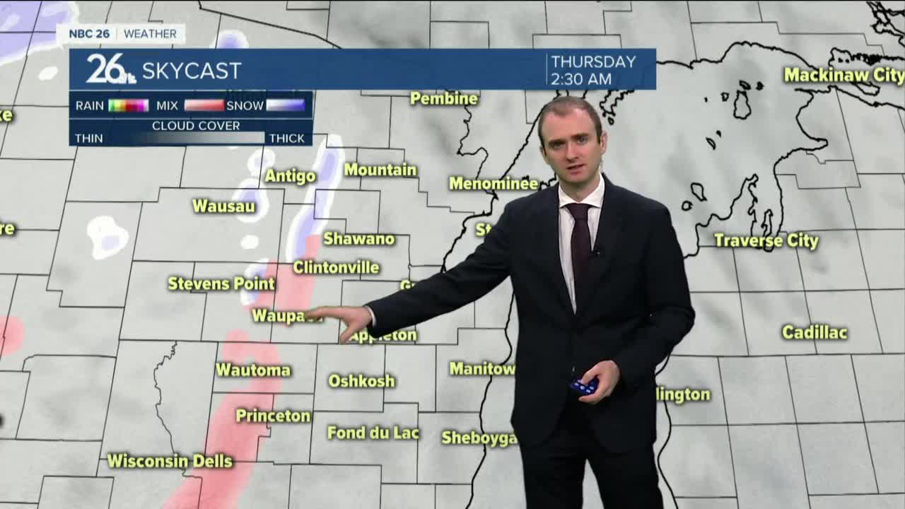
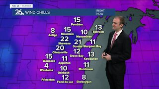
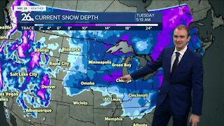
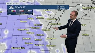
High pressure sticks around today, that means more sunshine and highs in the lower to mid 30s once again with winds turning to the southeast winds around 5-10 mph. The clouds thicken as we head into Wednesday night, temperatures fall into the mid 20s. We may have a slight wintry mix getting closer to daybreak Thursday. Snow is looking likely Thursday as an area of low pressure moves in. How much snow remains the question but it is looking like around a half foot plus. This will start out as a wet and heavy snow with temperature close to 32, so take your time when shoveling. Some snowfall may linger for the first half of our Friday as a reinforcing shot of cold air moves in behind this storm. Highs will be in the teens on Friday. It only gets colder from here. We will continue to see temperatures drop heading into the weekend with highs near zero and lows way below zero. This will be the coldest air of the winter so far.
-
 0:30
0:30
WGBA
1 year agoThree Degree Guarantee
369 -
 3:31
3:31
WGBA
4 years agoGino Recchia NBC26 Weather Forecast
6 -
 3:11
3:11
WGBA
4 years agoGino Recchia NBC26 Weather Forecast
12 -
 0:02
0:02
WGBA
4 years agoGino Recchia NBC26 Weather Forecast
171 -
 3:59
3:59
WGBA
4 years agoGino Recchia NBC26 Weather Forecast
26 -
 3:24
3:24
WGBA
4 years agoGino Recchia NBC26 Weather Forecast
18 -
 3:11
3:11
WGBA
4 years agoGino Recchia NBC26 Weather Forecast
17 -
 3:15
3:15
WGBA
4 years agoGino Recchia NBC26 Weather Forecast
13 -
 3:19
3:19
WGBA
4 years agoGino Recchia NBC26 Weather Forecast
7 -
 3:29
3:29
WGBA
4 years agoGino Recchia NBC26 Weather Forecast
24