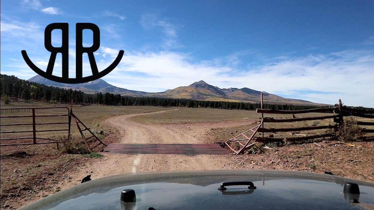
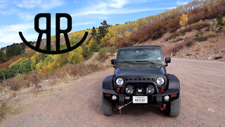
Rimrocker Trail - Part 4 - Colorado-Utah State Line to Moab
My Dad and I try to find, and stay on, the new Rimrocker Trail that goes from Montrose, CO to Moab, UT. In this video, we’ll cover part four of the trail from the Colorado-Utah state line to Moab.
Official Website for the Rimrocker Trail:
http://rimrockertrail.org/
Local news story on the new Rimrocker Trail:
https://www.nbc11news.com/content/news/Connecting-Montrose-to-Moab-with-a-160-mile-long-off-roading-trail-482880991.html
Part 4 Directions - Colorado-Utah state line to Moab
Zero your trip meter as you cross the Utah state line.
You are now on San Juan County Road 176 - also known as Geyser Creek Road.
Take note that all Rimrocker Trail signs in Utah are brown, regardless of changes in jurisdiction.
Next, turn left onto well-maintained Two Mile Road instead of continuing on Geyser Creek Road (N38 27.84 W109 06.92).
At the turn onto Two Mile Road the signage indicates a connection to Highway 46, but you won’t go that far.
On Two Mile Road at approximately 16 miles from the state line, make a right hand turn onto FSR 0073 (aka La Sal Pass Road and County Road 123).
If you instead continue on Two Mile Road you’ll reach Highway 46 in about two miles. Approximately two miles west on Highway 46 is the community of La Sal.
Continuing on the La Sal Pass Road, the Rimrocker Trail does not go all the way to La Sal Pass.
In about another mile, at 17.1 miles from the state line, you will make a left turn at signage for Doe and Pole Canyon Trailheads.
This turn will place you on one of those “lesser” roads FSR 0128.
FSR 0128 is rougher than Two Mile Road and La Sal Pass Road but would only be rated a 2 on a scale of 1 to 10. It is akin to an overly rough cobblestone road.
At 22.2 miles and at 22.5 miles you will want to ignore side roads FSR 717 and FSR 4717.
After traversing down a switchback and heading south, turn right onto FSR 4764 (N38 21.22 W109 16.09).
Continue along the Rimrocker Trail with turns onto FSR 4753 and FSR 4757.
After leaving the national forest and continuing through BLM land you will turn right onto Black Ridge Road, which is well maintained.
Stay on this road as it skirts the west side of the La Sal Mountains in a northwesterly direction with many curves and side roads.
Turn right onto Pole Canyon Road (N38 23.28 W109 24.32), which is also known as BLM Road 173 and County Road 173.
Follow Pole Canyon Road as it winds down toward Highway 191.
At approximately 2.8 miles from the turn you will pass the main entrance to the privately owned 4×4 playground known as Area BFE (N38 24.23 W109 24.48).
Continue to the parking area next to Highway 191.
If your vehicle is legal on highways in Utah and you are ready for pavement, a right turn leads north to Moab, and a left turn leads south to La Sal Junction.
-
 9:04
9:04
Coyote Overland
4 years ago $0.01 earnedGreat Continental Divide Ride - Section 01
2531 -
 18:53
18:53
Coyote Overland
4 years ago $0.05 earnedRimrocker Trail - Part 3 - Highway 141 to the Colorado-Utah State Line
140 -
 17:11
17:11
Coyote Overland
4 years ago $0.01 earnedRimrocker Trail - Part 2 - Nucla, CO to Highway 141
143 -
 12:59
12:59
Coyote Overland
4 years ago $0.02 earnedRimrocker Trail - Part 1 - Montrose, CO to Nucla, CO
131 -
 0:22
0:22
KTNV
4 years agoNew recreation trail near Nevada-Arizona state line
22 -
 17:41
17:41
Todd and Sheila's Outdoor Adventures
4 years ago $0.03 earnedRapids Trail Hike at Hillsborough River State Park
822 -
 1:40
1:40
Go West
4 years agoRifle State Park Colorado Part 2
33 -
 1:09
1:09
Trikke rides and stuff
4 years ago $0.01 earnedHigh Line Canal Trail
78 -
 2:44
2:44
Go West
4 years agoRifle State Park Colorado Part 1
64 -
 0:31
0:31
Gipper06
4 years agoThe swamp part nature trail
23