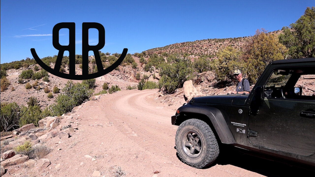
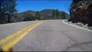
Rimrocker Trail - Part 2 - Nucla, CO to Highway 141
My Dad and I try to find, and stay on, the new Rimrocker Trail that goes from Montrose, CO to Moab, UT. In this video, we’ll cover part two of the trail from Nucla, CO to Highway 141.
Official Website for the Rimrocker Trail:
http://rimrockertrail.org/
Local news story on the new Rimrocker Trail:
https://www.nbc11news.com/content/news/Connecting-Montrose-to-Moab-with-a-160-mile-long-off-roading-trail-482880991.html
Radio Rock by Audionautix is licensed under a Creative Commons Attribution license (https://creativecommons.org/licenses/by/4.0/)
Artist: http://audionautix.com/
Part 2 Directions - Nucla to Highway 141
To continue on the Rimrocker Trail go to the City Park at (N38 15.694 W108 32.762) and head West on West 10th Avenue.
Before leaving the City Park reset your trip meter to zero - the approximated distances below are based on this.
Once you're heading West on West 10th Avenue the Rimrocker Trail makes a series of 90 degree turns before you leaving pavment again.
Turn right on County Road 2700.
Turn left at AA Road.
Turn right on County Road 2600.
Turn left at Z26 Road.
There is an important left turn at approximately 7.7 miles, where Z26 Road continues North and the Rimrocker Trail turns West onto V19 Road.
Turn left on V19 Road.
At this point, just keep to the main trail and watch for the Rimrocker Trail Blazes.
The trail will continue down into a canyon after a sharp right at approximately 15.3 miles.
At approximately 22.3 miles continue to follow the signs to the left onto a less maintained road.
At approximately 34.5 miles after leaving Nucla you should arrive at the intersection of Highway 141 and Q12 Road (N38 25.573 W108 49.39).
-
 23:07
23:07
Coyote Overland
4 years ago $0.03 earnedARB Twin Compressor Install with Metalcloak Bracket and sPOD Harness
154 -
 12:59
12:59
Coyote Overland
4 years ago $0.02 earnedRimrocker Trail - Part 1 - Montrose, CO to Nucla, CO
136 -
 18:53
18:53
Coyote Overland
4 years ago $0.05 earnedRimrocker Trail - Part 3 - Highway 141 to the Colorado-Utah State Line
149 -
 17:35
17:35
Coyote Overland
4 years ago $0.01 earnedRimrocker Trail - Part 4 - Colorado-Utah State Line to Moab
164 -
 0:31
0:31
Gipper06
4 years agoThe swamp part nature trail
23 -
 8:53
8:53
dragonslayer2ssrs
4 years agoDevils Highway Bumper Cam Part 2 2010 Camaro SS 2010
23 -
 1:52
1:52
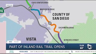
KGTV
4 years agoPart of North County Rail Trail opens to public
9 -
 13:55
13:55
IKINNIK
4 years ago $0.01 earnedA Farmer Takes The Oregon Trail Part 1-Leaving Independance
158 -
 0:08
0:08
gentleben
4 years agoHighway timelapse
51 -
 4:58
4:58
ExtraLife
5 years ago $0.01 earnedSEA TO SKY TRAIL PART 4
47