Trona Pinnacles
T
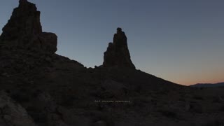
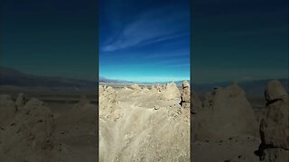
he Trona Pinnacles are an unusual geological feature in the California Desert National Conservation Area.[1] The landscape consists of more than 500 tufa spires (porous rock formed as a deposit when springs interact with other bodies of water), some as high as 140 ft (43 m), rising from the bed of the Searles Lake (dry) basin. The pinnacles vary in size and shape from short and squat to tall and thin, and are composed primarily of calcium carbonate (tufa). They now sit isolated and slowly crumbling away near the south end of the valley, surrounded by many square miles of flat, dried mud and with stark mountain ranges at either side.
The Trona Pinnacles, at an elevation of 1,800 ft (550 m) above sea level, are located approximately 10.0 mi (16.1 km) south of Trona, California. Access to the site is from a BLM dirt road (RM143) that leaves State Highway 178, about 7.7 mi (12 km) east of the intersection of State Highway 178 and the Trona-Red Mountain Road. The 5.0 mi (8 km) long dirt road from State Highway 178 to the Pinnacles is usually accessible to 2-wheel drive vehicles, however, the road may be closed during the winter months after a heavy rain.
The Pinnacles are located within 3,800 acres (15 km2) of federal land managed by the Bureau of Land Management. The Trona Pinnacles are inside a BLM Area of Critical Environmental Concern (ACEC) designated to protect and preserve unique resources.
Drone Footage is Not My Own
-
 9:54
9:54
M&M Overland Adventures
1 year agoTrona Pinnacles
15 -
 1:56
1:56
Radekdiver
1 year agoTrona Pinnacles
-
 0:20
0:20
American Nomad Podcast
1 year agoTrona Pinnacles #djimini3pro #tronapinnacles #mojavedesert #xterra
6 -
 0:59
0:59
American Nomad Podcast
1 year agoTrona Pinnacles #tronapinncles #photography #overlanding
3 -
 3:42
3:42
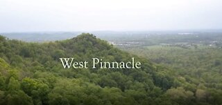
Aerial Drone Videos
3 years agoThe Pinnacles (West Pinnacle - 2017) @ Berea KY
20 -
 0:44
0:44
American Nomad Podcast
8 months agoThe wonder of Trona Pinnacle’s #AmericanNomadUSA
5 -
 19:04
19:04
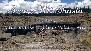
Scenic Mt Shasta
1 year agoHole and shallow cavity in Lava flow - Medicine Lake Highlands Volcanic Area - Scenic Mt Shasta
35 -
 7:23
7:23
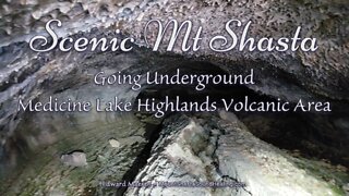
Scenic Mt Shasta
1 year agolow ceiling lava tunnel - Medicine Lake Highlands Volcanic Area - Scenic Mt Shasta
26 -
 0:13
0:13
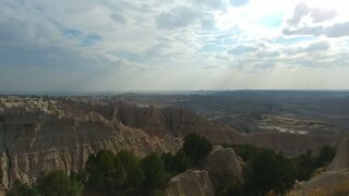
Travels of Epic Proportions
2 years agoPinnacles Overlook in Badlands National Park
28 -
 0:44
0:44
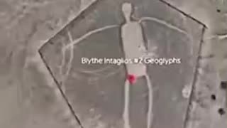
SusieQ4u
9 months agoGIANT PETROGLYPHS
94