Flying Over the Canyon Lake Gorge - (Texas)
In the summer of 2002, more than 34 inches of rain fell in the upper watershed of the Guadalupe River, setting off a torrent of floodwater that carved the Canyon Lake Gorge - out of the earth - when Canyon Lake exceeded its maximum water holding capacity.
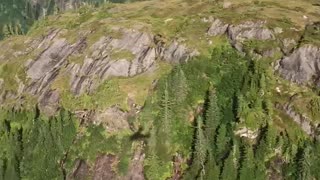
The flood roared through the Hill Country northwest of New Braunfels, tearing away soil, ripping up huge trees, crumpling houses and sending a rush of water from swollen Canyon Lake over its spillway for the first time since the reservoir was completed in 1964.
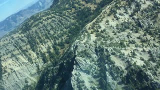
The historic flood sliced open the ground below the spillway, creating a gigantic 64-acre Gorge and exposing ancient, cretaceous limestone, fossils and even dinosaur footprints 110 million years old.
The Gorge Preservation Society (GPS) is a community-based, 501(c)(3) nonprofit organization. Its mission is to promote the enjoyment and conservation of a unique natural phenomenon, the Canyon Lake Gorge. Over the years, GBRA and GPS have formed a unique and highly productive partnership that has made the Canyon Lake Gorge one of Central Texas' foremost attractions.
(See this web link for more info about the Gorge Preservation Society and learn how to sign up for their guided tours of the Gorge area: https://www.GorgePreservationSociety.org)
Location:
Canyon Lake Gorge
16029 S Access Rd
Canyon Lake, TX 78133
GPS coordinate: N 29.86304 W 098.18750
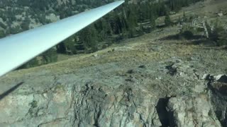
The US Corps of Engineers granted me permission to launch from the Overlook Park on the south end of the dam during another authorized activity in October and I took advantage of that access to also fly over the Gorge area.
Please feel free to hit the Rumble button if you liked this, SUBSCRIBE if you want to see more, and leave a comment with your suggestions or observations. I always read and respond to comments. I do take requests from folks that want to see different types of aerial photography / videos from areas they might not be able to access from the ground. I am a certified Part 107 commercial drone pilot. Flight plans were filed prior to all flights.
I flew the DJI Mavic 2 Pro drone, recording in 4K / 30fps for the first part of the video, then the Autel Evo 2 Pro for the section that mentions a change of drones. Video Editing software was Wondershare Filmora X. Music was from Epidemic Sound. Get your free 30 day trial from Epidemic Sound by clicking on this free referral link: https://www.epidemicsound.com/referral/d2jne3/
-
 4:59
4:59
Yellow Rose Drone Videos
5 months agoWedding of Lee Besing & Avril Rollison at Canyon Lake TX on December 2, 2023 #wedding #marriage
27 -
 2:48
2:48
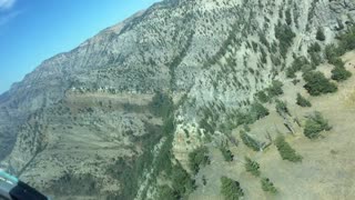
Green
3 years agoGlider 3 Spiral flying in Logan Canyon
94 -
 2:20
2:20
Randy, son of Ron
3 years agoCanyon City River Gorge excursion
58 -
 1:27
1:27
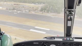
AaronGose
3 years agoFlying a Helicopter in the Grand Canyon
22 -
 0:25
0:25
cynsheng
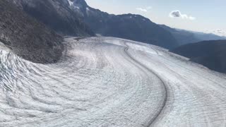
3 years ago $0.39 earnedFlying over a glacier
3751 -
 0:03
0:03
patflahertymusic
3 years agoClouds over Grand Canyon
1111 -
 0:07
0:07
Green
3 years agoGlider 4 Flying around Logan Canyon, UT
197 -
 1:13
1:13
Green
3 years agoGlider 5 flying around Logan Canyon, UT
31 -
 0:13
0:13
cynsheng
3 years agoSeaplane flying over Fjords
171 -
 10:11
10:11
RandomVideoEntertainment
3 years agoFlying Over A Waterfall!
57