NBC 26 weather forecast
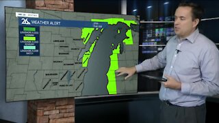
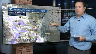
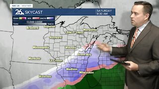
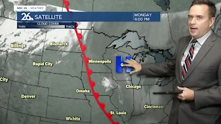
Cloudy skies are back on Friday with highs in the upper 30s. Our attention continues to closely monitor the potential for accumulating snowfall over Northeast Wisconsin. Right now, we do not have a pinpoint idea where exactly this storm will hit, but we do know that confidence is growing for an area to see accumulation somewhere in Wisconsin. If the storm is stronger, it will track further north causing more widespread snowfall to our area. If the storm ends up being weaker, the track will be further south, sparing most if not all of our area from any accumulation. Some of the latest data is suggesting that Fond du Lac, Sheboygan, and Manitowoc Counties have the best chance to see accumulating snowfall. There will be a sharp drop-off in accumulations north and west of these areas. After this storm, the weather turns quiet Sunday and Monday with highs in the lower to mid 30s.
-
 1:45
1:45
WGBA
8 months agoStudents excited to start at "huge and beautiful" Vel Phillips Middle School
60 -
 0:43
0:43
WGBA
3 years agoNBC 26 weather forecast
18 -
 0:36
0:36
WGBA
3 years agoNBC 26 weather forecast
14 -
 3:29
3:29
WGBA
3 years agoNBC 26 weather forecast
9 -
 3:16
3:16
WGBA
3 years agoNBC 26 weather forecast
4 -
 3:17
3:17
WGBA
3 years agoNBC 26 weather forecast
4 -
 3:48
3:48
WGBA
3 years agoNBC 26 weather forecast
9 -
 3:48
3:48
WGBA
3 years agoNBC 26 weather forecast
3 -
 2:58
2:58
WGBA
3 years agoNBC 26 weather forecast
1 -
 3:29
3:29
WGBA
3 years agoNBC 26 weather forecast
5