Drone view of our land
3 years ago
This shows the eastern half of our 160 acre off grid property. The valley to the left is where Jimmie’s Creek runs, the other valleys have wet weather creeks. There is a 200 foot elevation change from the top of the hills to the creek bed. We’re really lucky to have such a beautiful place all to ourselves! Zinc was mined here from 1895 to 1920-something, but its been left alone since then except for some loggers cutting timber back in the early 90s. When you’re here, you really feel like the only person on earth. I love that.
Loading comments...
-
 0:28
0:28
Shymol
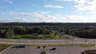
3 years agoDrone view
141 -
 0:16
0:16
Shymol
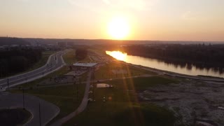
3 years agoDrone view sunset
121 -
 2:15
2:15
LanceMFai1s
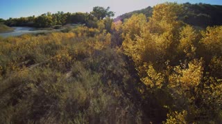
3 years agoFall Colors a Drone View
6322 -
 0:15
0:15
Shymol
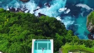
3 years agoBali drone view
3562 -
 2:21
2:21
Rich Brandt
3 years ago $0.01 earnedDrone view of Monks Mound at Cahokia Mounds State Historic site
277 -
 1:50
1:50
Fetrente
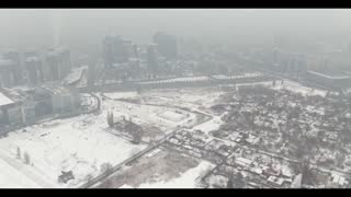
3 years agoVery beautiful view from a drone in winter
27 -
 0:57
0:57
What You Know Matters
3 years agoDrone eye view to see almost everyone at Rally (Peaceful Protest)
761 -
 2:58
2:58
ViralHog
4 years agoDrone with Low Batter Barely Makes it Back to Land
34 -
 0:29
0:29
LouisBarba
3 years ago $0.05 earnedDrone flying
2481 -
 0:13
0:13
Ciccio6969
3 years agoNissan drone
50