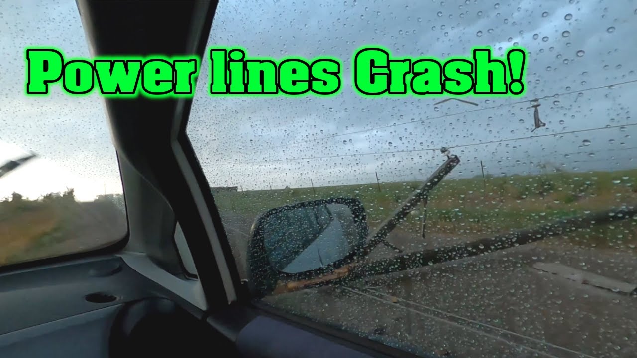
My Scariest Storm Chase yet | Power lines Crash & Flash | Caught on Camera!
As an Amazon Associate I earn from qualifying purchases.
👍 Hand Held Weather Station: https://amzn.to/36zZ5y3
👍 Storm Lightning Detector: https://amzn.to/2OPRlzv
👍 Storm Chasing Handbook: https://amzn.to/2OnPyCQ
👍 Glass Mount Antenna: https://amzn.to/2RJzDBu
👍 Rain-X Windshield Rain Protection: https://amzn.to/2W7ENbB
Chapters:
00:00 Radar Intro
00:44 In the car ready to go
01:23 Dirt Road Prelims
02:41 Hillbillys pull up | Scare us away
03:36 Getting closer and darker
04:30 Approaching the Wall Cloud
05:21 Stayed too long at the Wall Cloud
06:02 Power Lines Crash
06:36 A Dangerous Drive
10:22 Menacing Clouds
11:44 Devil Clouds
15:15 Lightning TOO CLOSE
Thunderstorm damage as winds knock down power lines in front of me.
A wall cloud is a large, localized, persistent, and often abrupt lowering of cloud that develops beneath the surrounding base of a cumulonimbus cloud and from which tornadoes sometimes form. It is typically beneath the rain-free base portion of a thunderstorm, and indicates the area of the strongest updraft within a storm. Rotating wall clouds are an indication of a mesocyclone in a thunderstorm; most strong tornadoes form from these. Many wall clouds do rotate; however, some do not.
Genesis
Wall clouds are formed by a process known as entrained, when an inflow of warm, moist air rises and converges, overpowering wet, rain-cooled air from the normally downwind downdraft. As the warm air continues to en train the cooler air, the air temperature drops and the dew point increases (thus the dew point depression decreases). As this air continues to rise, it becomes more saturated with moisture, which results in additional cloud condensation, sometimes in the form of a wall cloud. Wall clouds may form as a descending of the cloud base or may form as rising scud comes together and connects to the storm's cloud base.
-
 15:57
15:57
Amateur Storm Chasing
4 years ago $0.02 earnedExtreme Storms Chaser | Purple Mammatus
3101 -
 0:45
0:45
ViralHog
4 years agoIce Storm Causes Arcing Power Lines
1971 -
 0:15
0:15
ViralHog
5 years agoTropical Storm Causes Power Lines to Combust
280 -
 1:02
1:02
Buzzvideos - EN
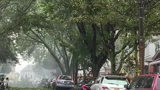
5 years agoFierce storm sends tree crashing down onto power lines
26 -
 0:50
0:50
Ghosts That Hunt Back TV
4 years ago $1.08 earnedShadow Person Caught On Camera
10.2K3 -
 0:18
0:18
deme
5 years agoHorse caught on camera
5.6K4 -
 1:02
1:02
Buzzvideos - EN
5 years agoFierce storm sends tree crashing down onto power lines
81 -
 0:22
0:22
Spydrones
5 years ago $0.32 earnedCaught on my Ring doorbell camera
1.49K -
 7:12
7:12
AnimalFam
5 years agoHuge storm front rolls in caught on camera
1821 -
 0:12
0:12
TrumpTriggersLiberals
4 years ago $0.05 earned🚨Jail Break Caught on Camera 🚨
6553