Gino Recchia NBC26 Weather Forecast
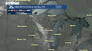
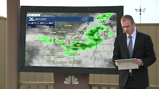
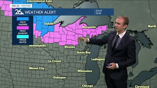
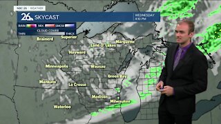
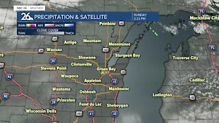
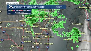
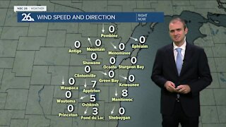
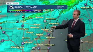
Enjoy the warmth Friday and Saturday because you can say goodbye to upper 70s and lower 80s for a long time it is looking like. Tonight, we will see rain showers gradually diminish with mostly cloudy skies and light winds out of the east and southeast along a stationary boundary. This boundary will move north, turning into a warm front for our Friday. High temperatures will be back into the upper 70s and lower 80s with very windy conditions. A sustained wind at 10-20 mph with gusts up to 30 mph will be possible. Some showers and thunderstorms will develop near the U.P. and cause a small risk for hail in the afternoon and evening. It will be a similar repeat for our Saturday with breezy winds out of the west and southwest with temperatures in the upper 70s and lower 80s. A cold front will move through, but the cold air will be arriving later. Sunday will see highs near 70, with a small chance of some showers as weak disturbances pass through. A northwest flow and strong area of high pressure from Canada will cause temperatures to fall each day heading into the new week. Each day has a chance of some light rain showers with weak disturbances moving through. By Tuesday, you can welcome 50 degree high temperatures whether you like it or not. Perhaps a good time to look for a winter home down south?
-
 1:45
1:45
WGBA
7 months agoStudents excited to start at "huge and beautiful" Vel Phillips Middle School
56 -
 3:25
3:25
WGBA
3 years agoGino Recchia NBC26 Weather Forecast
7 -
 3:31
3:31
WGBA
3 years agoGino Recchia NBC26 Weather Forecast
4 -
 2:23
2:23
WGBA
3 years agoGino Recchia NBC26 Weather Forecast
5 -
 2:42
2:42
WGBA
3 years agoGino Recchia NBC26 Weather Forecast
16 -
 3:38
3:38
WGBA
3 years agoGino Recchia NBC26 Weather Forecast
27 -
 3:19
3:19
WGBA
3 years agoGino Recchia NBC26 Weather Forecast
23 -
 3:06
3:06
WGBA
3 years agoGino Recchia NBC26 Weather Forecast
8 -
 2:58
2:58
WGBA
3 years agoGino Recchia NBC26 Weather Forecast
2 -
 3:08
3:08
WGBA
3 years agoGino Recchia NBC26 Weather Forecast
5