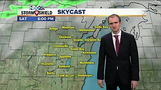
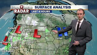
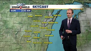
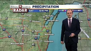
Gino Recchia NBC26 Weather Forecast
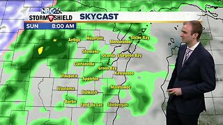
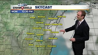
Temperatures will fall into the upper 20s and lower 30s tonight with mostly clear skies and light winds out of the north initially, changing to the southwest by daybreak Monday. Monday will get back up into the 50s with a sunny start but then another frontal boundary will move through, bringing an increased risk of showers and thunderstorms in the afternoon and evening. It will be another windy day as well with a west to southwest wind at 15 to 20 mph with gusts to 35 mph. Temperatures fall into the lower 40s Tuesday under mostly clear skies. Wednesday will be a toss up right now with our temperatures since it depends where exactly this storm system tracks and the location of the warm front. There will be a sharp contrast from 40s to 60s across the Badger state most likely. A chance of showers and thunderstorms will also be possible. Temperatures will cool off into the upper 40s and lower 50s Thursday and Friday.
-
 1:57
1:57
WGBA
11 months agoHow the City of Green Bay is hoping a $1.6M investment will make the community safer for pedestrians
2161 -
 4:19
4:19
WGBA
4 years agoGino Recchia NBC26 Weather Forecast
12 -
 3:12
3:12
WGBA
4 years agoGino Recchia NBC26 Weather Forecast
6 -
 4:17
4:17
WGBA
4 years agoGino Recchia NBC26 Weather Forecast
17 -
 3:08
3:08
WGBA
4 years agoGino Recchia NBC26 Weather Forecast
12 -
 3:13
3:13
WGBA
4 years agoGino Recchia NBC26 Weather Forecast
16 -
 3:12
3:12
WGBA
4 years agoGino Recchia NBC26 Weather Forecast
13 -
 3:57
3:57
WGBA
4 years agoGino Recchia NBC26 Weather Forecast
6 -
 2:41
2:41
WGBA
4 years agoGino Recchia NBC26 Weather Forecast
6 -
 3:18
3:18
WGBA
4 years agoGino Recchia NBC26 Weather Forecast
3