Gino Recchia NBC26 Weather Forecast
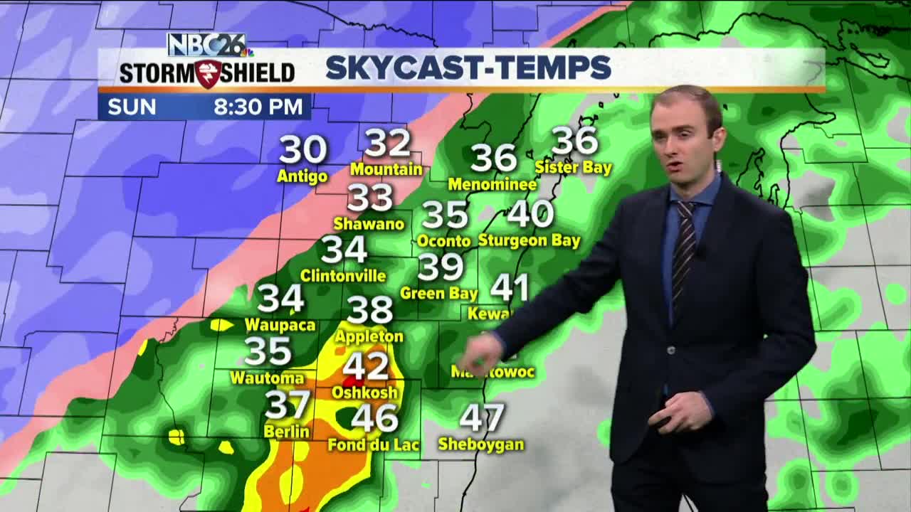
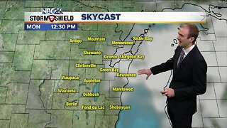
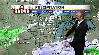
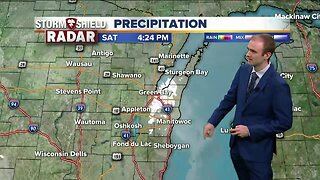
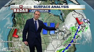
Winter weather advisories and winter storm warnings are in effect for Northeast Wisconsin. We will see snowfall to the northwest of the Fox Valley with snowfall totals over a foot in areas of North Central Wisconsin. The snowfall totals drastically drop as you get closer to the I-41 corridor. Due to the strong winds, a lakeshore flood advisory has been issued for some lakeshore counties. Initially out of the northeast tomorrow, winds will turn to the northwest on Monday with gusts upwards of 35-45 mph. Tonight, temperatures will fall into the mid and upper 30s with some isolated rain showers. Sunday, rain and snow will build in more in coverage, Temperatures will have a stark contrast with near 50 by Fond du Lac to the lower 30s in Antigo. Sunday night, the rain and snow mix will continue throughout the area. The low pressure will begin to depart, pulling in colder air across the rest of Northeast Wisconsin. Any leftover rainfall will turn over to snow. A light dusting of snow is possible for the Fox Valley and lakeshore areas by daybreak Monday. Monday will have breezy northwest winds with temperatures in the mid and upper 30s. Tuesday and Wednesday will be quite cooler than average with highs in the mid and upper 30s. There will be a chance of light snow or a wintry mix during these two days as weak disturbances move through. We will see temperatures improve back into the 50s by next weekend.
-
 1:45
1:45
WGBA
1 year agoStudents excited to start at "huge and beautiful" Vel Phillips Middle School
358 -
 3:08
3:08
WGBA
5 years agoGino Recchia NBC26 Weather Forecast
12 -
 3:13
3:13
WGBA
5 years agoGino Recchia NBC26 Weather Forecast
16 -
 3:12
3:12
WGBA
5 years agoGino Recchia NBC26 Weather Forecast
13 -
 3:57
3:57
WGBA
5 years agoGino Recchia NBC26 Weather Forecast
10 -
 2:41
2:41
WGBA
5 years agoGino Recchia NBC26 Weather Forecast
6 -
 3:18
3:18
WGBA
5 years agoGino Recchia NBC26 Weather Forecast
3 -
 2:57
2:57
WGBA
5 years agoGino Recchia NBC26 Weather Forecast
32 -
 3:09
3:09
WGBA
5 years agoGino Recchia NBC26 Weather Forecast
25 -
 3:24
3:24
WGBA
5 years agoGino Recchia NBC26 Weather Forecast
20