Premium Only Content
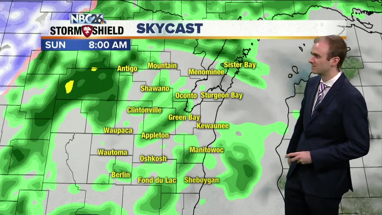
Gino Recchia NBC26 Weather Forecast
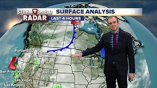
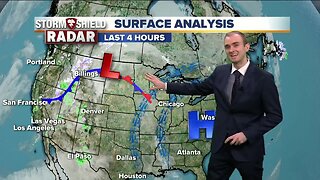
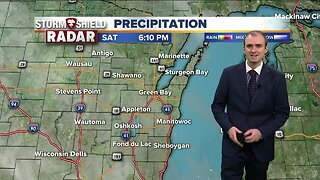
A powerful spring storm is impacting millions today, from tornadic thunderstorms to heavy snowfall. We are positioned between both extremes here in Northeast Wisconsin. Some heavy rainfall is expected later tonight as a frontal boundary moves in. There is a marginal risk of severe storms for areas south of Green Bay. The primary threat hazard would be hail. The greater concern is the increasing wind gusts out of the northeast. This will resulting in some lakeshore flooding. All areas along the Bay of Green Bay are under this advisory. Heavy showers and thunderstorms tonight will result in rainfall totals near or exceeding an inch. With a soil still saturated from previous rains and continued snowmelt, local rivers and streams may become more stressed, resulting in additional river flood warnings. Some light rain showers are possible on Sunday with temperatures in the mid 40s. The storm system will then exit the region with calmer weather returning Monday. Temperatures will be in the mid 40s. It will be cooler on Tuesday with highs in the lower to mid 40s. We get back to near 50 Wednesday under mostly cloudy skies. It's getting to this time of the year where lakeside areas will develop lake breezes while inland locations see warmer temperatures.
-
 1:45
1:45
WGBA
1 year agoFond du Lac Cardinals start the football season with a new $5.3 million nest
385 -
 2:57
2:57
WGBA
5 years agoGino Recchia NBC26 Weather Forecast
32 -
 3:09
3:09
WGBA
5 years agoGino Recchia NBC26 Weather Forecast
25 -
 3:24
3:24
WGBA
5 years agoGino Recchia NBC26 Weather Forecast
20 -
 3:20
3:20
WGBA
5 years agoGino Recchia NBC26 Weather Forecast
15 -
 3:08
3:08
WGBA
5 years agoGino Recchia NBC26 Weather Forecast
11 -
 2:59
2:59
WGBA
5 years agoGino Recchia NBC26 Weather Forecast
10 -
 3:16
3:16
WGBA
5 years agoGino Recchia NBC26 Weather Forecast
13 -
 2:51
2:51
WGBA
5 years agoGino Recchia NBC26 Weather Forecast
14 -
 3:13
3:13
WGBA
5 years agoGino Recchia NBC26 Weather Forecast
19