Gino Recchia NBC26 Weather Forecast
It is a chilly start to our day with wind chills below zero and we won’t see much improvement during the day with values remaining near zero. High temperatures will climb into the teens with sunshine and steady Northwest winds between 10-20 mph with gusts up to 30 mph. Tonight, winds will subside so wind chills won’t be as unpleasant. We drop down into the single digits. Clouds will also be on the increase. Winter storm watches are getting posted across Wisconsin as we head towards the weekend. A strong area of low pressure currently moving through the Rockies will be arriving here Friday evening. During the day Friday, skies will increase in cloud cover turning over cast by the late morning/early afternoon. Temperatures will climb into the upper 20s with winds picking up out of the southeast between 5 to 15 mph with gusts up to 20 mph. Snowfall moves in in the late evening and persists through the whole overnight. Temperatures will remain in the upper 20s with breezy southeast winds between 10-20 mph. Accumulations regarding this system still remain a little tricky. While most data suggest an all snowfall event, there is some data showing a stronger area of low pressure drawing in warmer air to parts of our area. This would result in a changeover to rainfall during a part of this storm. Snowfall accumulations will be impacted. At this time, it does look like we should at least have several inches of snow. Behind this storm, temperatures get a lot colder.
-
 3:57
3:57
WGBA
4 years agoGino Recchia NBC26 Weather Forecast
18 -
 2:53
2:53
WGBA
4 years agoGino Recchia NBC26 Weather Forecast
6 -
 15:40
15:40
Great Lakes Weather
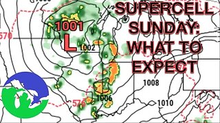
10 months agoSupercell Sunday: Severe Weather Potential for Michigan and Indiana -Great Lakes Weather
14 -
 17:25
17:25
Great Lakes Weather
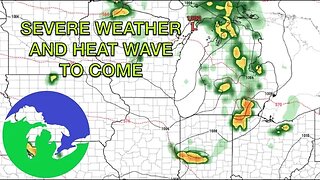
10 months agoSevere Weather Potential Next Week with a Possible Heat Wave To Come -Great Lakes Weather
34 -
 18:00
18:00
Great Lakes Weather
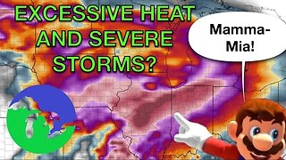
10 months agoHEAT WAVE and Possible Severe Thunderstorms Through the Week -Great Lakes Weather
32 -
 13:56
13:56
Great Lakes Weather
2 years agoBIG Groundhog Day Snowstorm for Michigan likely-Great Lakes Weather
6 -
 12:19
12:19
Great Lakes Weather
2 years agoMore Active Weather Ahead, Thunderstorms AND Snow in One Week -Great Lakes Weather
4 -
 11:34
11:34
Great Lakes Weather
2 years agoWHITEOUT Conditions with COLD expected Wednesday and Thursday in Michigan -Great Lakes Weather
7 -
 12:20
12:20
Great Lakes Weather
1 year agoImpactful Snow Event Likely This Week in Michigan-Great Lakes Weather
-
 15:00
15:00
Great Lakes Weather
7 months agoWidespread Snowfall Event Expected in Michigan Starting this Weekend -Great Lakes Weather
27