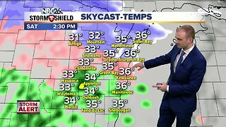
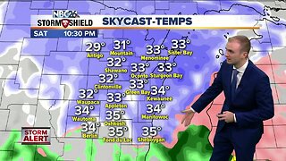
Gino Recchia NBC26 Weather Forecast
An ugly storm system is going to come in two waves this weekend with the first round of wintry mix overnight, and then the second more potent round tomorrow afternoon through Sunday. Winter weather advisories are issued for all counties along and south of Highway 29 through tomorrow afternoon for a wintry mix of snow up to an inch and a half and a light glaze of ice as temperature hover around 32 degrees. Winds will not be as bad as they will be later tomorrow, east around 5 to 15 mph. Temperatures will climb into the lower to mid 30s tomorrow especially south of Highway 29. In the Northwoods, light to moderate snow will be the primary threat. Winter storm warnings are in effect for areas north of Highway 29, winter storm watches are in effect along the Highway 29 corridor. Any small shift in the track of the low pressure will be the difference between someone seeing 4-8 inches of snow and seeing 1-3 inches of snow. Winds will gust 30-40 mph out of the east and northeast. Because of the strong winds, a lakeshore flood warning is in effect for all lakeside counties. Flooding and erosion will once again be issues from Saturday afternoon through Sunday evening. Moderate to heavy snow at times will occur Saturday night into Sunday morning. The highest snowfall accumulations will occur along and north of Highway 29. Some locations may see near a foot of snow by the time the system winds down. Temperatures Sunday will be right around 32-33 with gusty winds between 30-40 mph out of the north and northeast.
-
 4:18
4:18
WGBA
4 years agoGino Recchia NBC26 Weather Forecast
19 -
 4:56
4:56
WGBA
4 years agoGino Recchia NBC26 Weather Forecast
32 -
 12:19
12:19
Great Lakes Weather
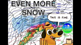
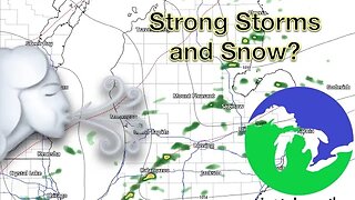
2 years agoMore Active Weather Ahead, Thunderstorms AND Snow in One Week -Great Lakes Weather
4 -
 15:40
15:40
Great Lakes Weather
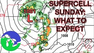
11 months agoSupercell Sunday: Severe Weather Potential for Michigan and Indiana -Great Lakes Weather
14 -
 9:13
9:13
TiffanysContent
5 months agoChicago Fog, Gulf Coast Flood, ThunderStorms, Freezing Rain, Snow, Atmospheric River
41 -
 14:17
14:17
Great Lakes Weather
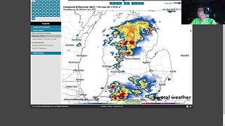
8 months agoStrong Thunderstorms Possible in Michigan Tomorrow; Snow In the Forecast -Great Lakes Weather
18 -
 6:46
6:46
The Siouxland StormTrack Weather Channel
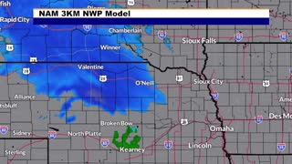
1 year agoSioux City Weather Forecast
7.06K -
 8:36
8:36
TiffanysContent
5 months agoDaily Weather Update: Snowstorm, Tornadoes, Thunderstorms, LIGHTNING, Heavy Rainfall, Black Ice, FOG
39 -
 32:59
32:59
Great Lakes Weather
11 months agoLive SEVERE WEATHER BRIEFING for Michigan, Indiana, Ohio
2 -
 17:25
17:25
Great Lakes Weather
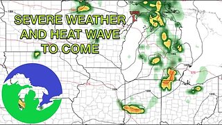
11 months agoSevere Weather Potential Next Week with a Possible Heat Wave To Come -Great Lakes Weather
34