NBC26 Storm Shield Forecast
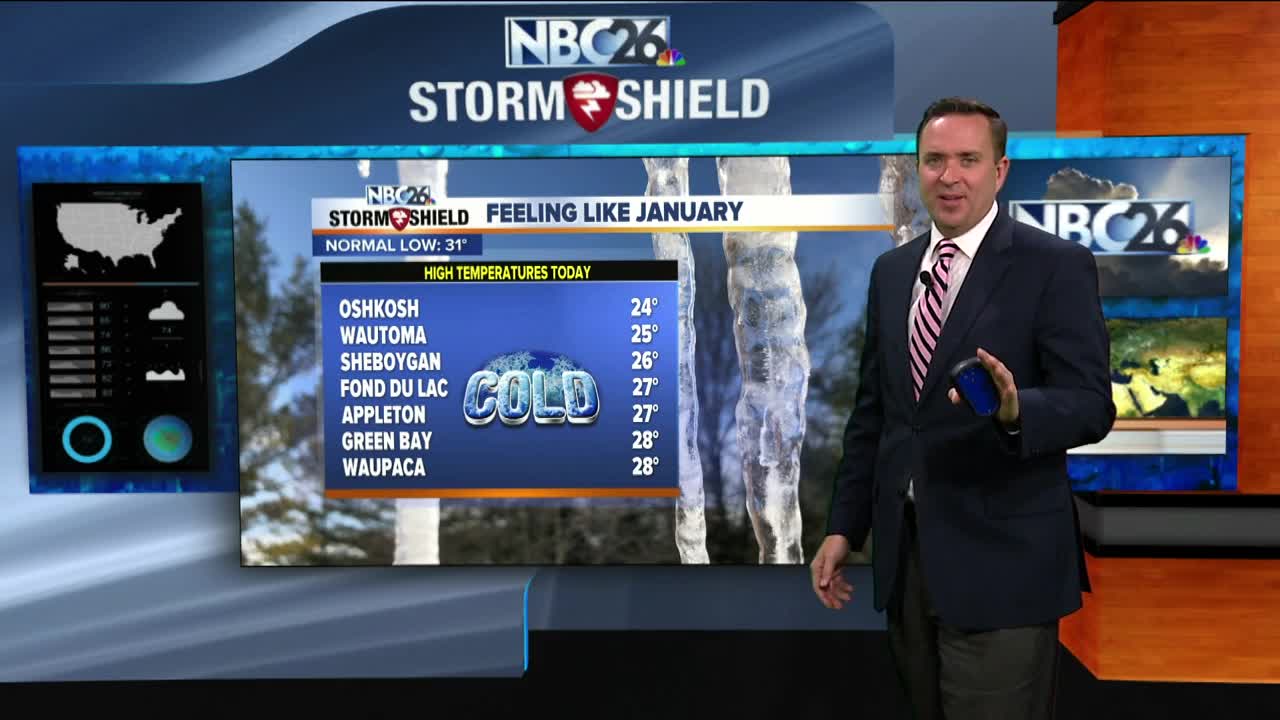
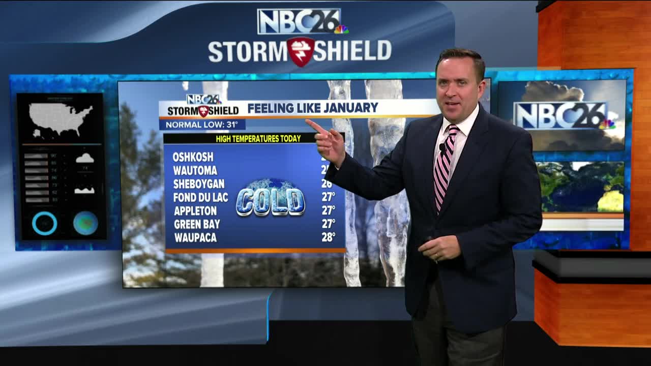
We had the earliest high at/below 20° in 68 years on Tuesday & this is the 3rd coldest start to November on record. Most of the night should be cold and quiet with lows in the upper single-digits with clouds on the increase. Another snow-maker will move in Wednesday. The snow will slowly start through the morning bu pick up as noon approaches. This really affects us the most going through the afternoon and into the evening commute with slippery roads. Right now....it's looking like most areas will pick up 2-4" . This will be tapering off through the evening. Temperatures will be in the low 20s and it will be breezy at times. That snow is out of here by early Thursday morning, and we'll have the sun coming back with highs in the low-30s. This SLOW moderating trend will continue into the weekend with mid-30s on Saturday and upper-30s Sunday. Temps look to climb back into the 40s next week.
-
 1:45
1:45
WGBA
8 months agoFond du Lac Cardinals start the football season with a new $5.3 million nest
66 -
 3:20
3:20
WGBA
4 years agoNBC26 Storm Shield Forecast
5 -
 1:29
1:29
WGBA
4 years agoNBC26 Storm Shield Forecast
8 -
 4:07
4:07
WGBA
4 years agoNBC26 Storm Shield Forecast
20 -
 1:48
1:48
WGBA
4 years agoNBC26 Storm Shield Forecast
3 -
 4:10
4:10
WGBA
4 years agoNBC26 Storm Shield Forecast
7 -
 1:27
1:27
WGBA
4 years agoNBC26 Storm Shield Forecast
4 -
 4:16
4:16
WGBA
4 years agoNBC26 Storm Shield Forecast
1 -
 3:56
3:56
WGBA
4 years agoNBC26 Storm Shield Forecast
1 -
 4:08
4:08
WGBA
4 years agoNBC26 Storm Shield Forecast
1