Gino Recchia NBC26 Weather Forecast
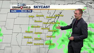
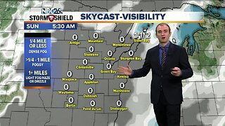
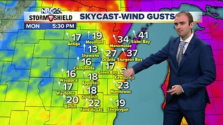
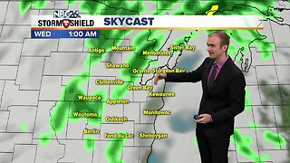
The powerful storm system that brought the high winds yesterday is still going to impact us throughout the day. The center of low pressure is moving through Northern Wisconsin through our Tuesday. This will continue the strong winds between 15 to 25 mph with guts possibly up to 40 mph. Rain showers will be scattered on and off through the day with temperatures climbing into the upper 40s and lower 50s. Rain should come to an end overnight with temperatures falling into the mid 30s under southwest winds around 15 to 20 with gusts near 30. Wednesday will not be as windy but will still be a cool day. Highs will top off in the upper 40s with a west wind around 5 to 15 mph with gusts near 25 mph. There is a weak disturbance that is going to move through later this afternoon and evening posing a chance of a couple rain showers. Thursday will be dry with highs in the mid 40s under partly cloudy skies. The coldest morning appears to be Friday with morning lows in the upper 20s and lower 30s. Sunshine should warm us up into the mid 40s. We get back into the 50s by the weekend. Some data is hinting at a risk of rainfall either Sunday or Monday.
-
 0:30
0:30
WGBA
7 months agoThree Degree Guarantee
61 -
 3:29
3:29
WGBA
4 years agoGino Recchia NBC26 Weather Forecast
5 -
 3:28
3:28
WGBA
4 years agoGino Recchia NBC26 Weather Forecast
13 -
 3:11
3:11
WGBA
4 years agoGino Recchia NBC26 Weather Forecast
6 -
 3:11
3:11
WGBA
4 years agoGino Recchia NBC26 Weather Forecast
9 -
 2:17
2:17
WGBA
4 years agoGino Recchia NBC26 Weather Forecast
5 -
 2:49
2:49
WGBA
4 years agoGino Recchia NBC26 Weather Forecast
-
 3:31
3:31
WGBA
4 years agoGino Recchia NBC26 Weather Forecast
1 -
 3:32
3:32
WGBA
4 years agoGino Recchia NBC26 Weather Forecast
14 -
 13:55
13:55
WGBA
4 years agoGino Recchia NBC26 Weather Forecast
1