Gino Recchia NBC26 Weather Forecast
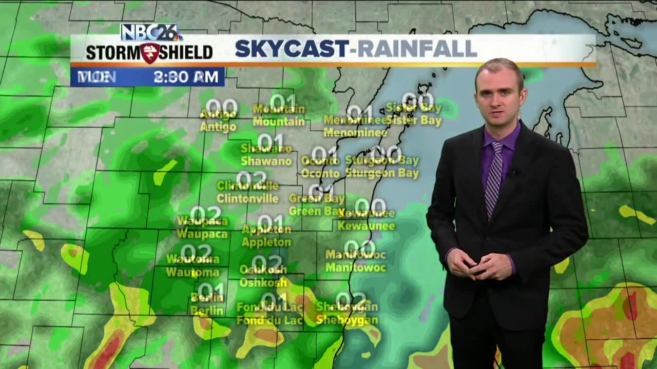
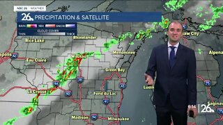
A warm front will move through Northeast Wisconsin overnight. Temperatures will hold steady in the mid to upper 50s with winds out of the east and southeast between 5 and 15 mph. A few showers and storms are possible overnight. Monday highs will rise into the upper 70s and lower 80s with a decrease in cloud cover. We may have a few isolated showers and storms during the afternoon and evening but the best potential for that will remain in the Northwoods. Tuesday, highs will be cooler in the lower to mid 70s, additional showers and thunderstorms will move though adding to more unneeded precipitation to our area. It gets a lot cooler Wednesday with highs back in the 50s. There will be a risk of some showers. Thursday, another round of showers and upper 50s are expected. The coldest day of the week will be Friday with highs in the lower 50s. This is the wettest September on record & we will be adding to that total before we get to October. This will also be the wettest year on record by early next week,
-
 1:45
1:45
WGBA
1 year agoStudents excited to start at "huge and beautiful" Vel Phillips Middle School
307 -
 3:22
3:22
WGBA
2 years agoGino Recchia NBC26 Weather Forecast
6 -
 4:13
4:13
WGBA
2 years agoGino Recchia NBC26 Weather Forecast
2 -
 3:35
3:35
WGBA
2 years agoGino Recchia NBC26 Weather Forecast
-
 3:45
3:45
WGBA
2 years agoGino Recchia NBC26 Weather Forecast
-
 3:21
3:21
WGBA
2 years agoGino Recchia NBC26 Weather Forecast
9 -
 4:12
4:12
WGBA
2 years agoGino Recchia NBC26 Weather Forecast
-
 3:13
3:13
WGBA
2 years agoGino Recchia NBC26 Weather Forecast
1 -
 3:42
3:42
WGBA
2 years agoGino Recchia NBC26 Weather Forecast
2 -
 3:39
3:39
WGBA
2 years agoGino Recchia NBC26 Weather Forecast
1